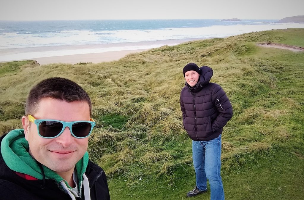
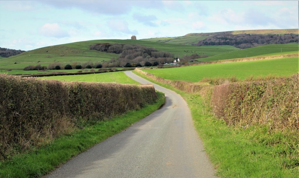
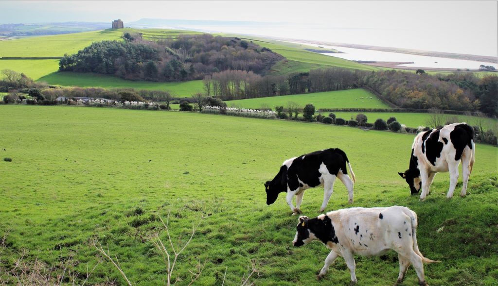
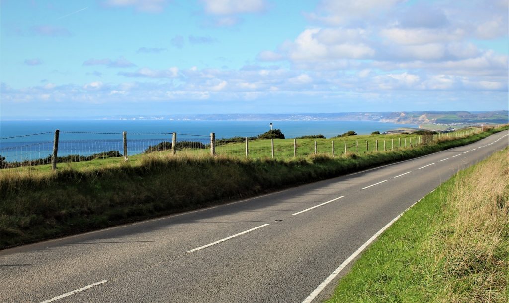
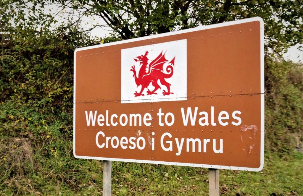
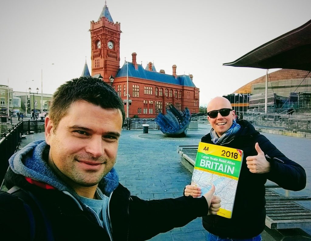
Day 49 – Bridgwater to Cardiff
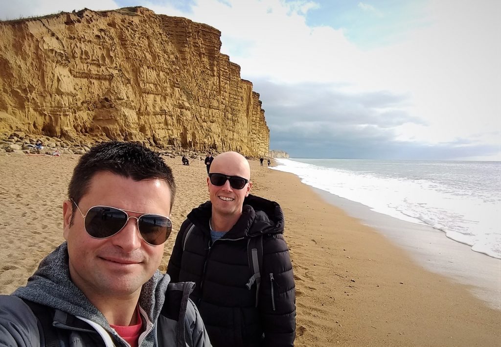
Day forty-nine!! YES!! That means we will complete our entire loop of mainland Britain’s coast today. We are both feeling super excited!
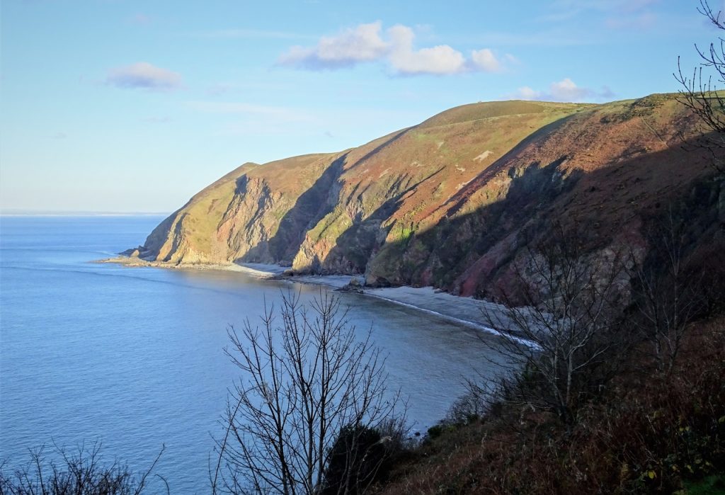
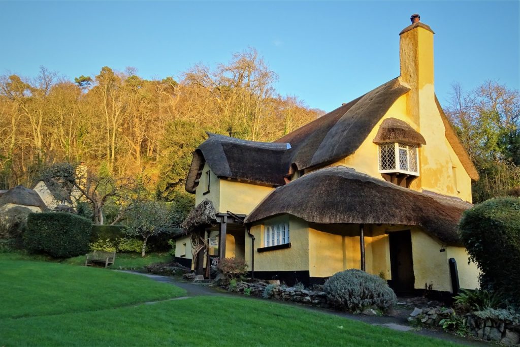
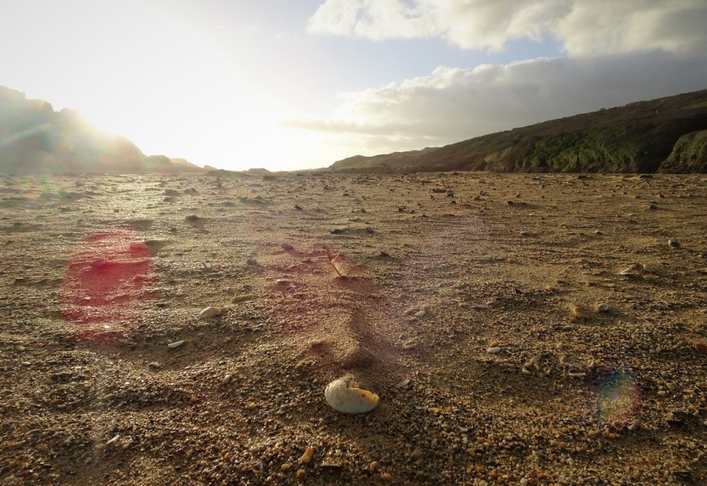
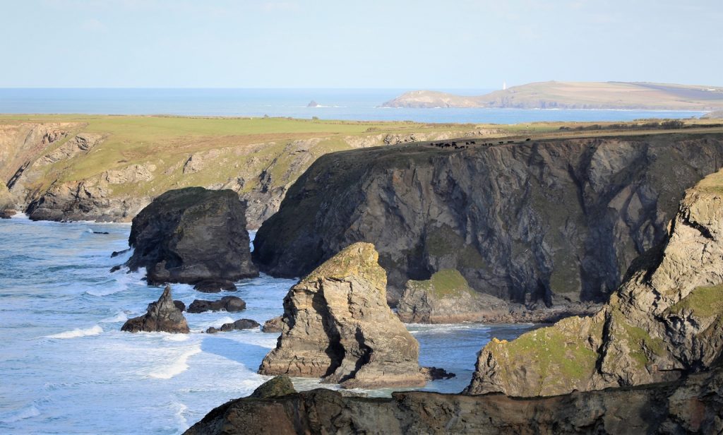
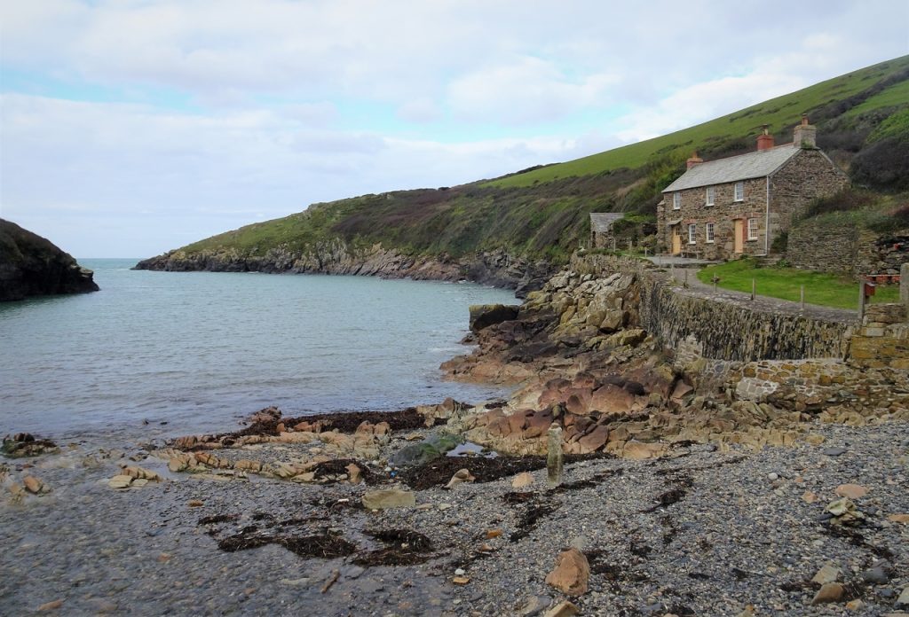
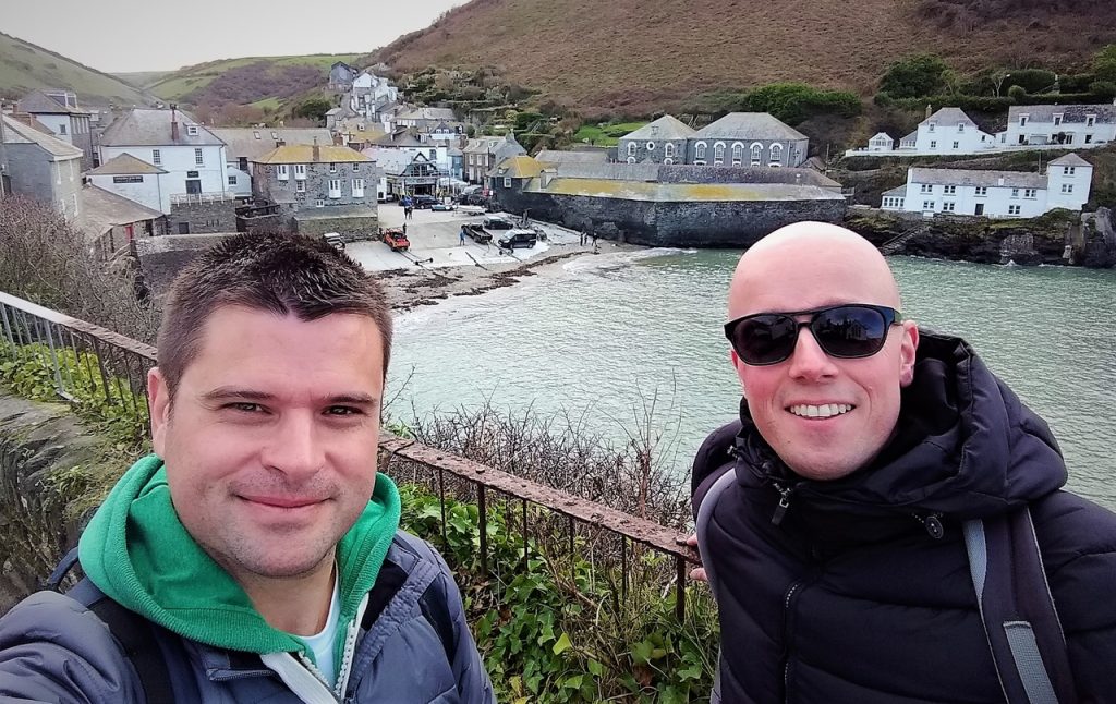
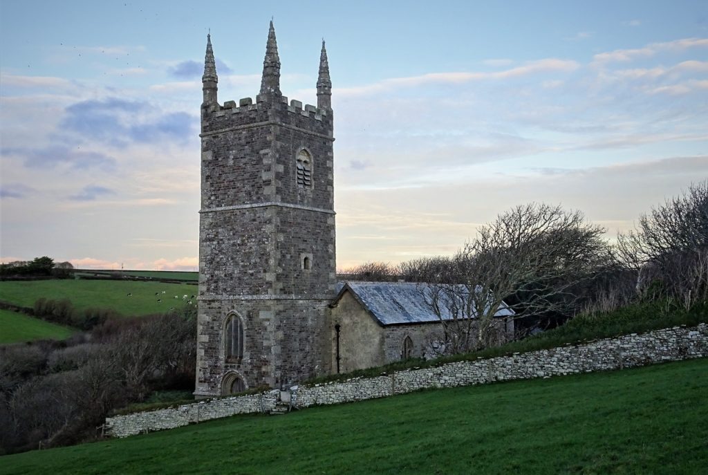
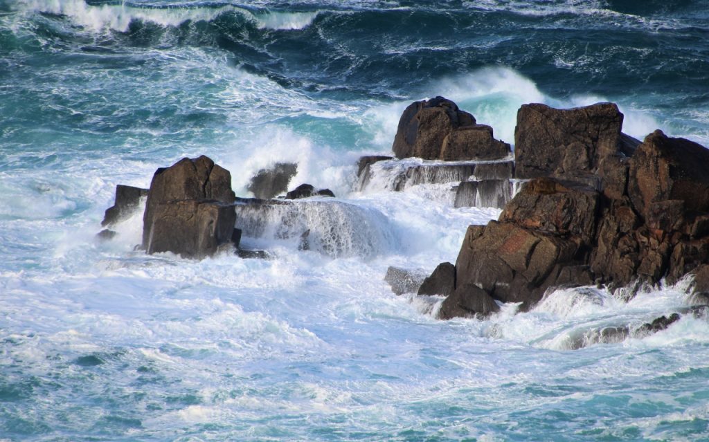
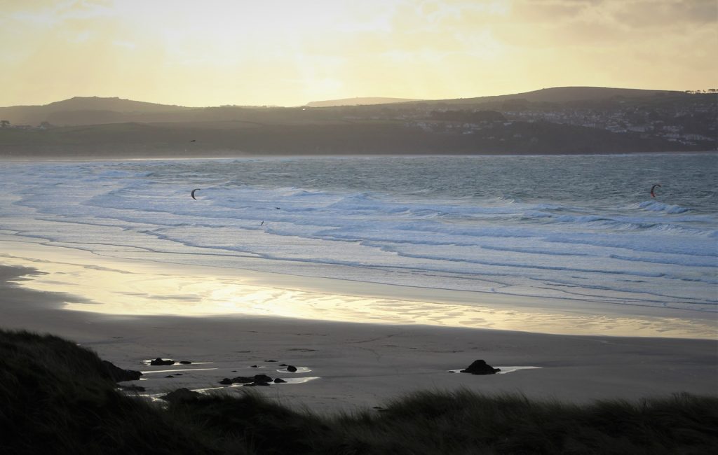
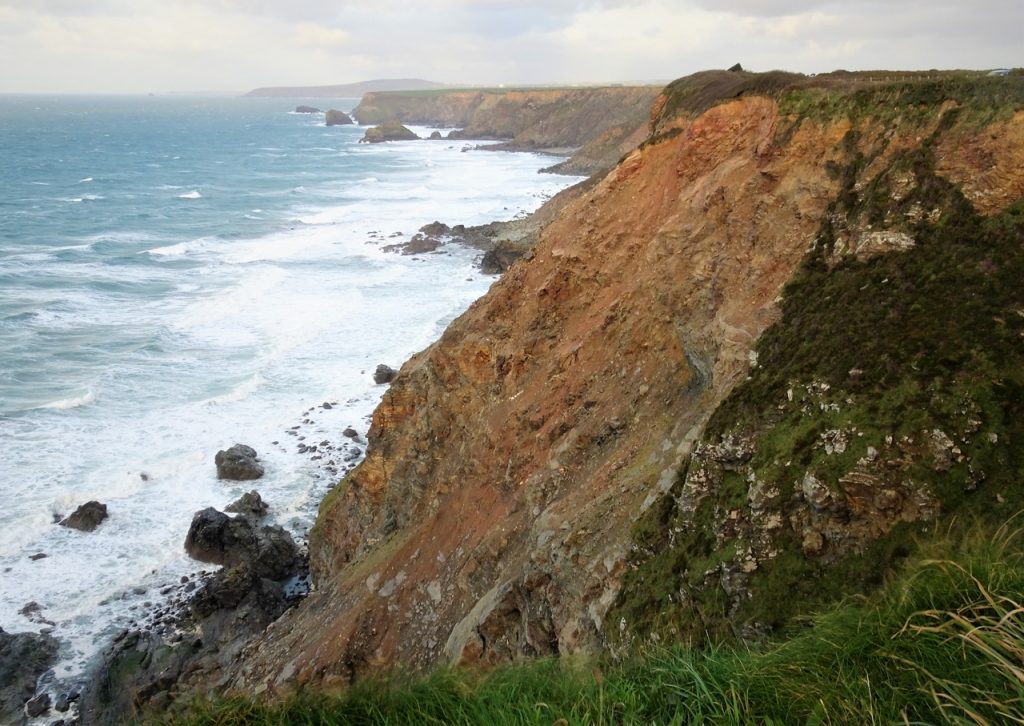
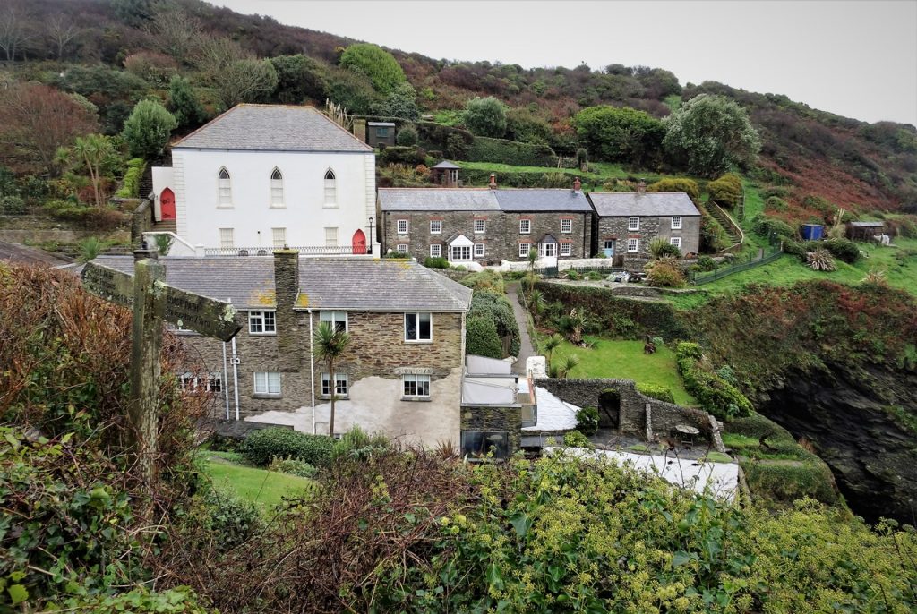
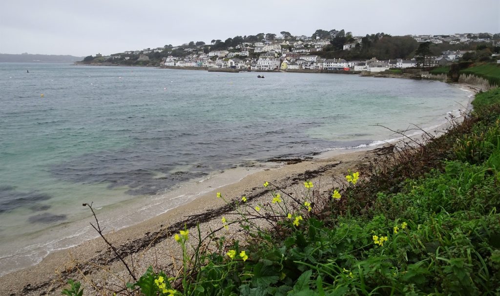
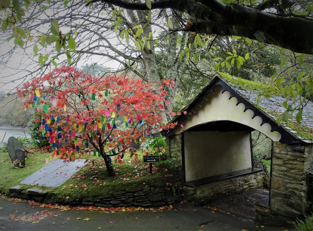
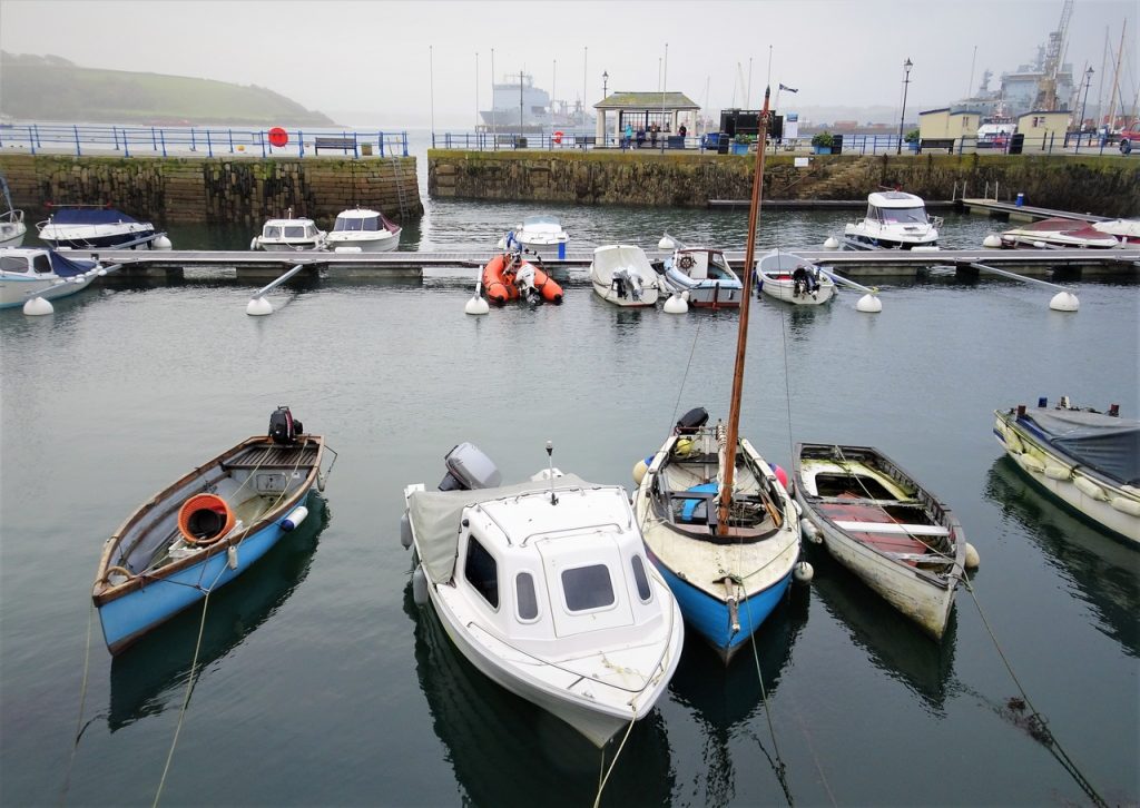
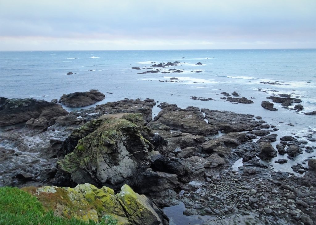
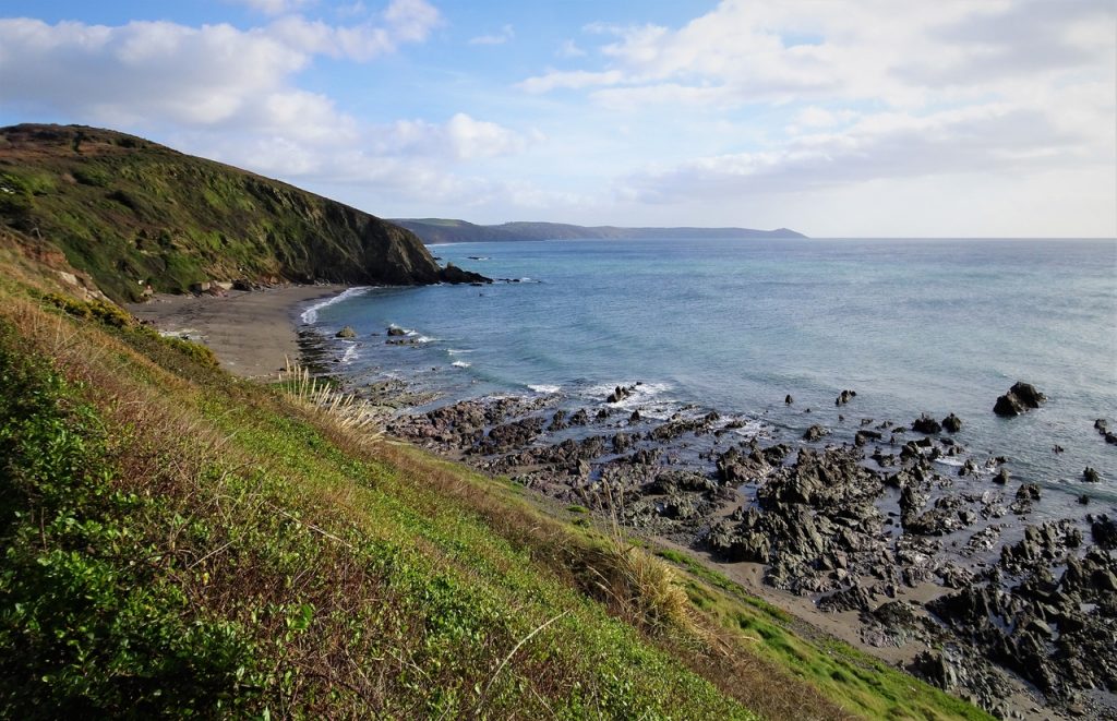
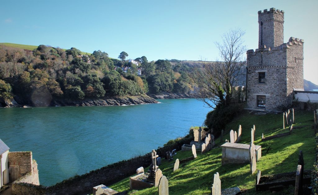
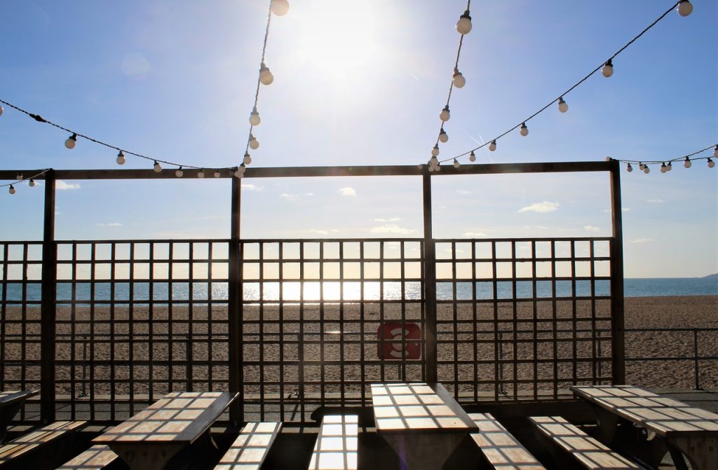
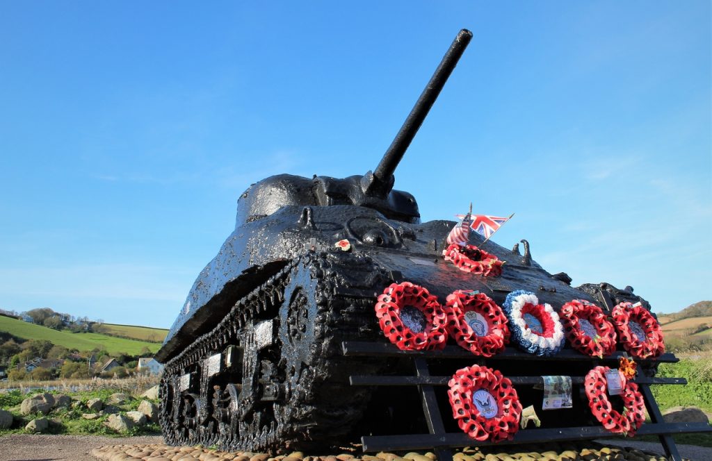
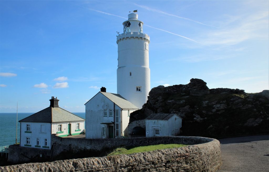
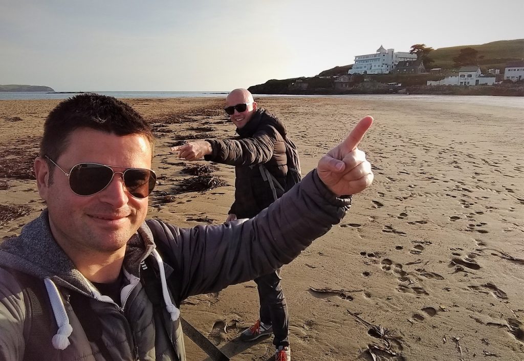
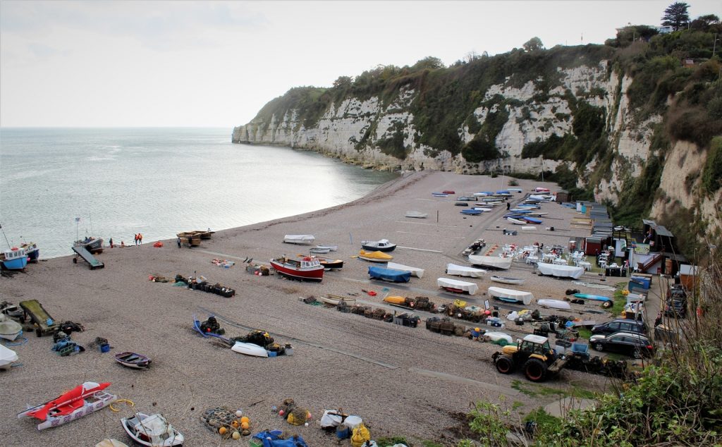
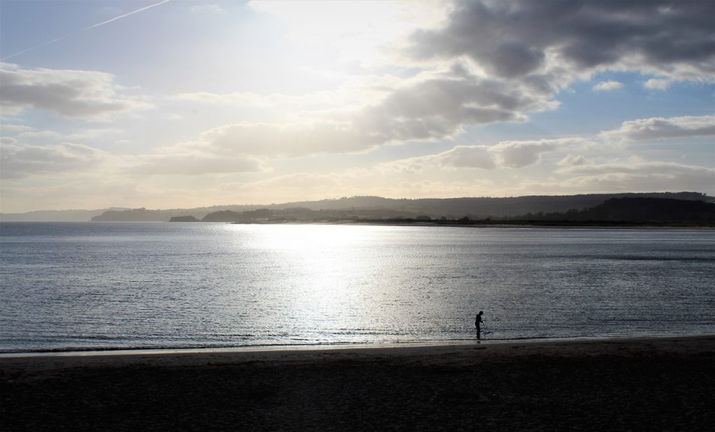
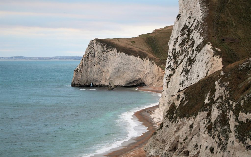
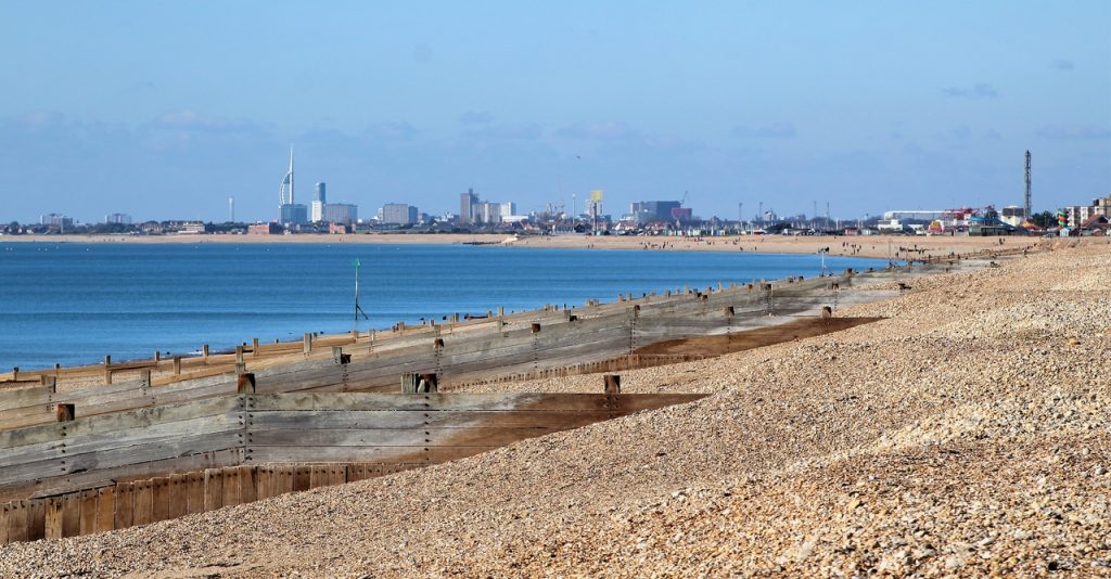
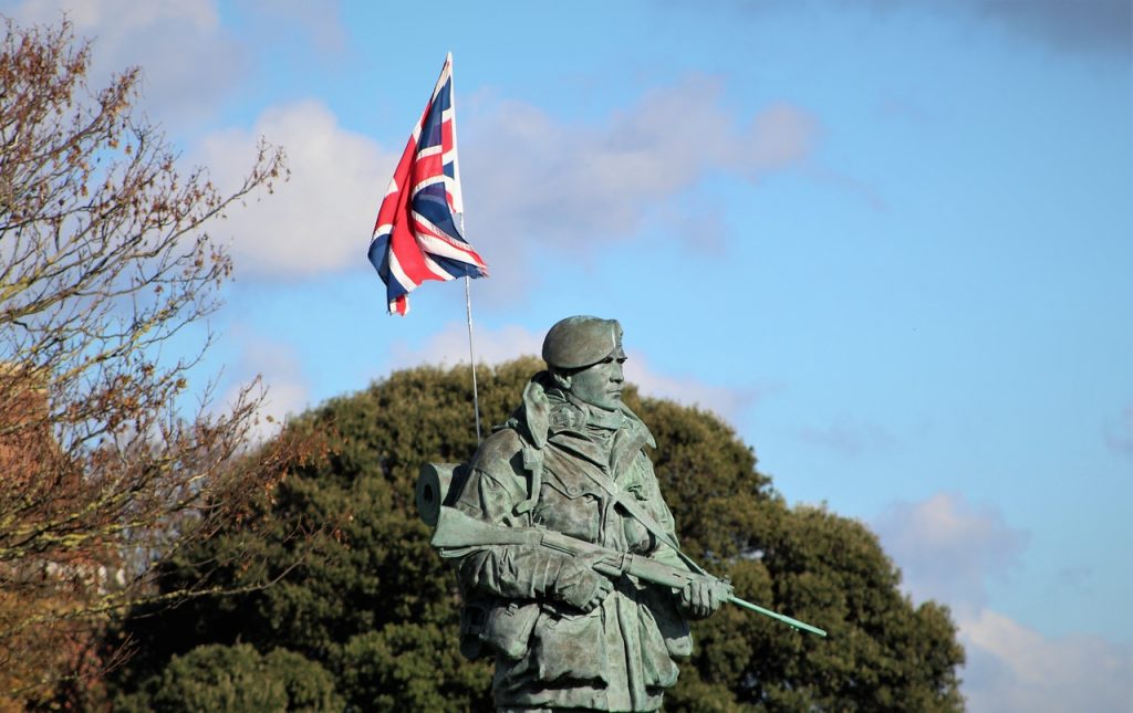
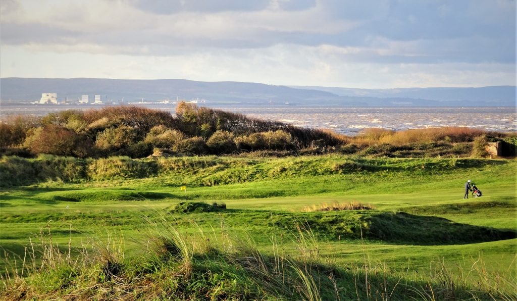
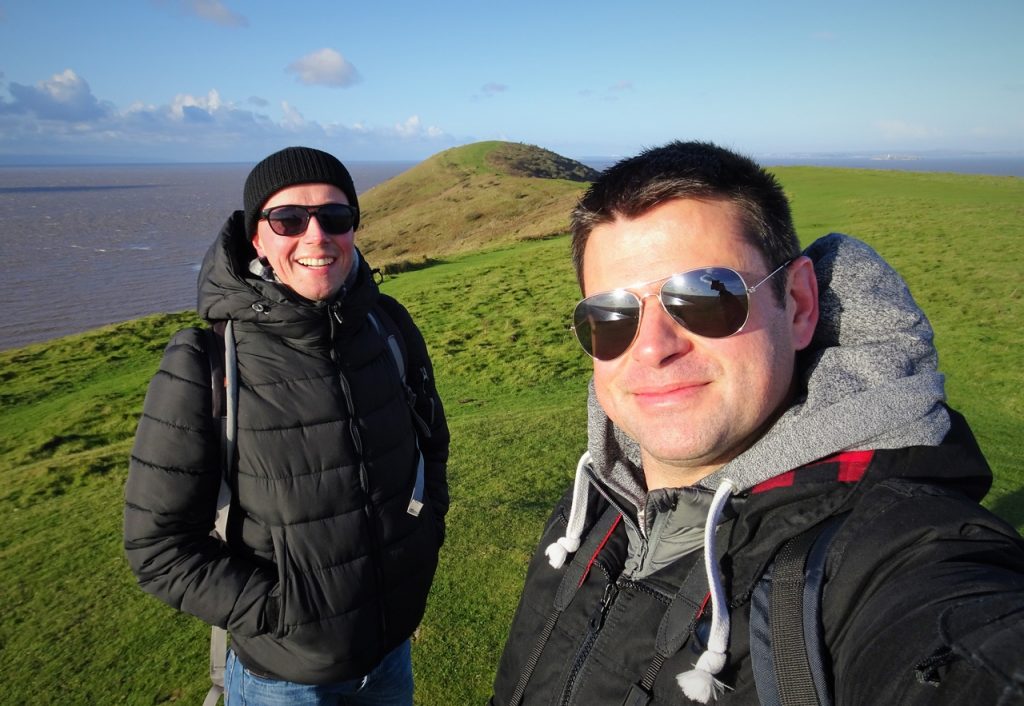
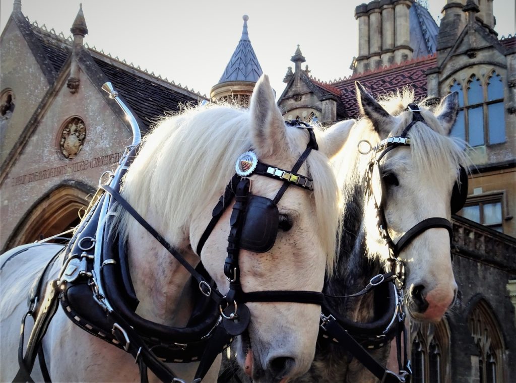
Photo of the day

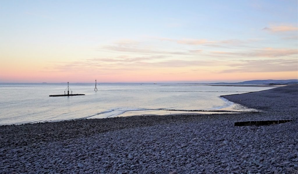
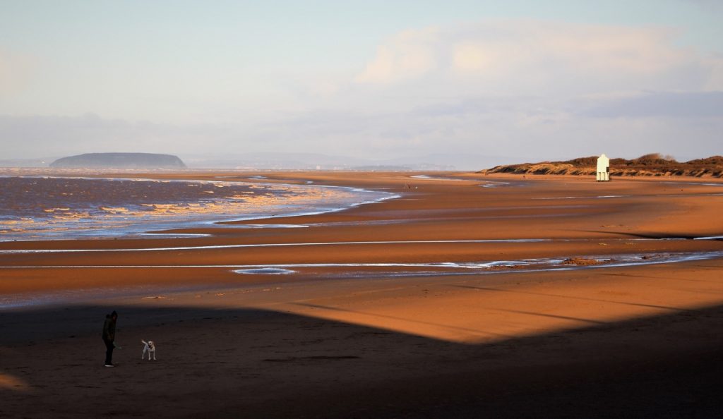
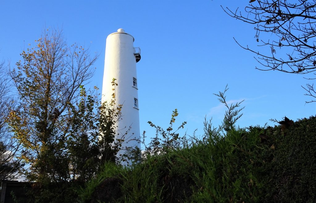
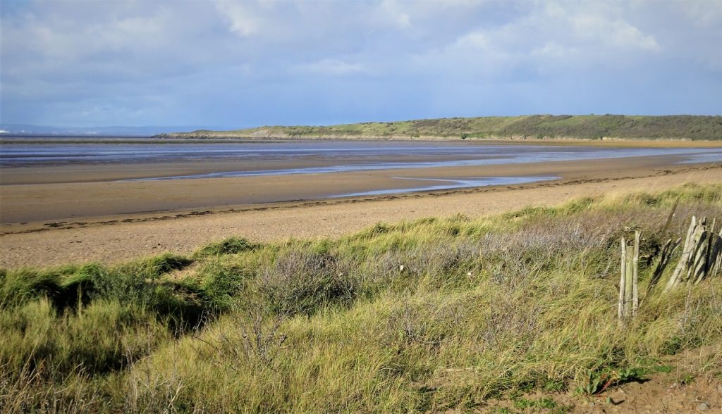
Burnham-on-Sea
Berrow
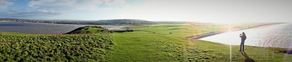
Brean Down
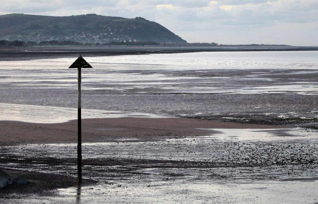
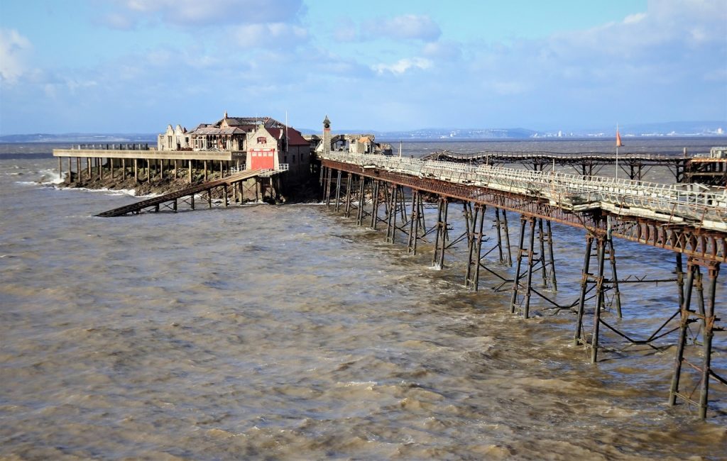
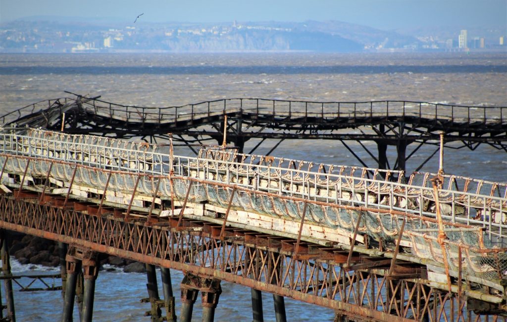
Uphill
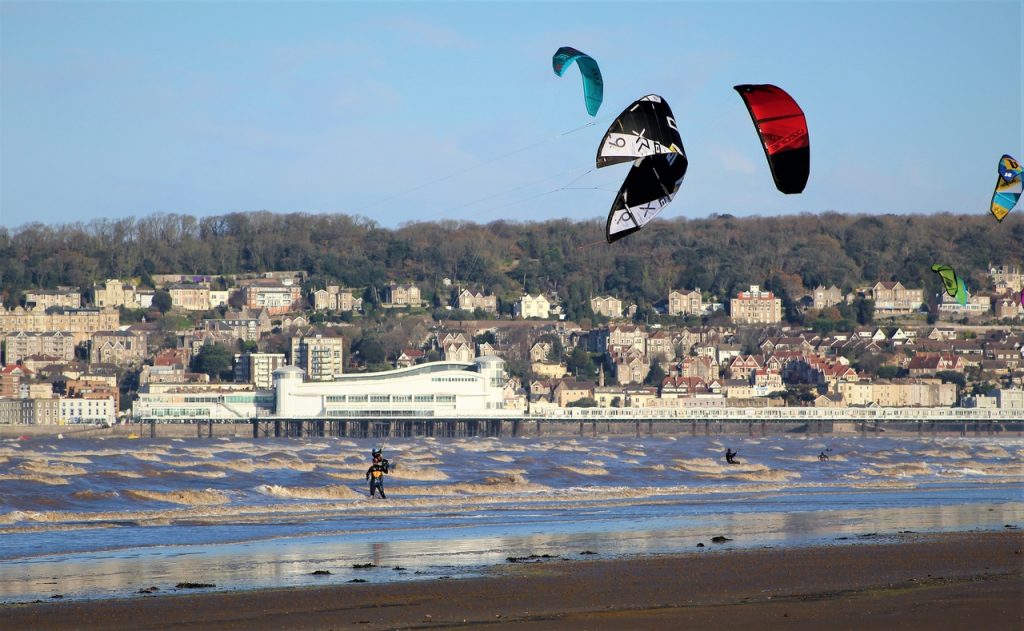
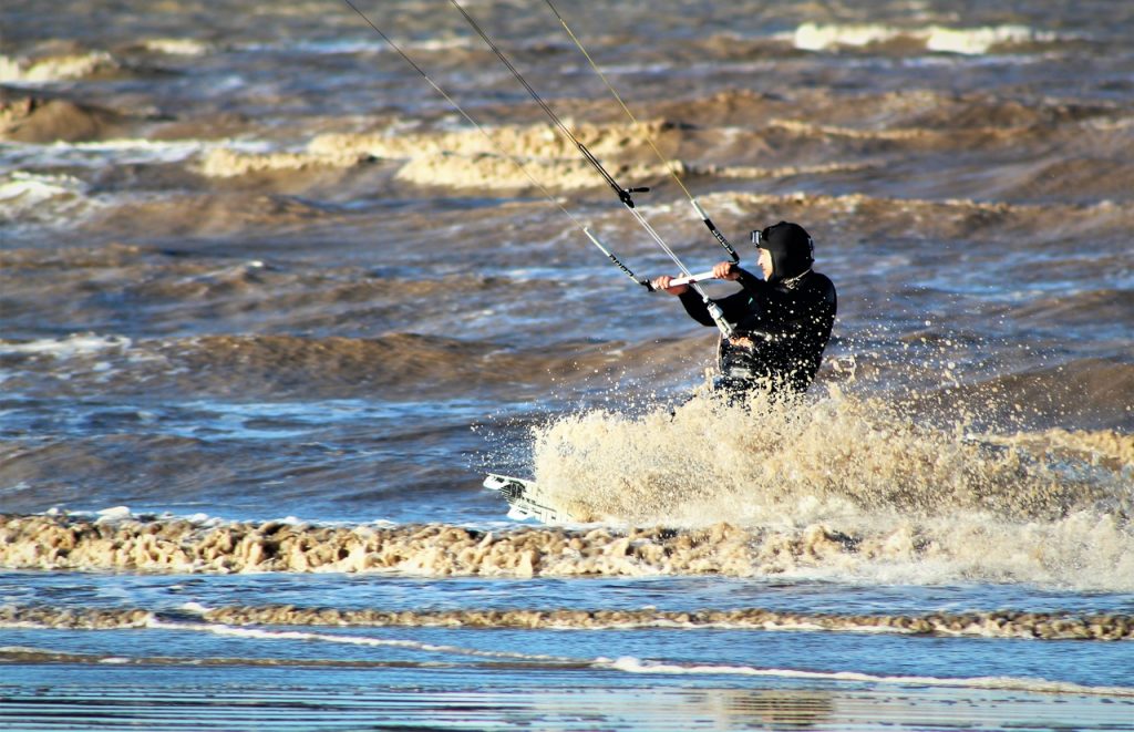
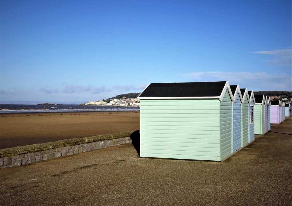
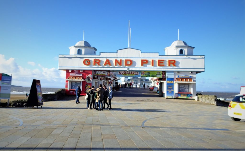
Weston-super-Mare
Sand Bay
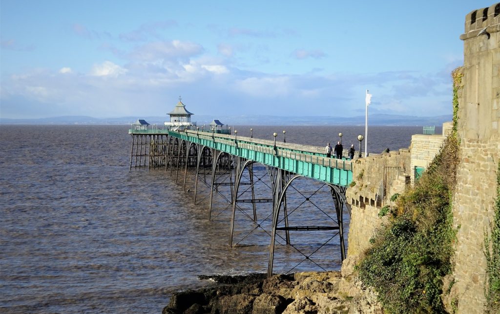
Clevedon
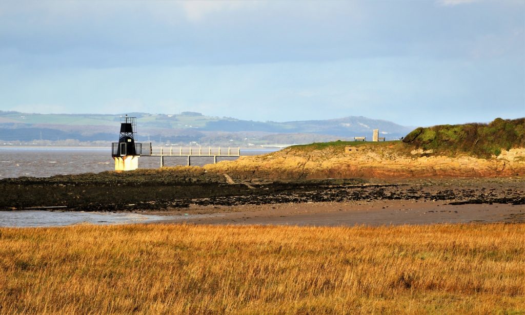
Portishead

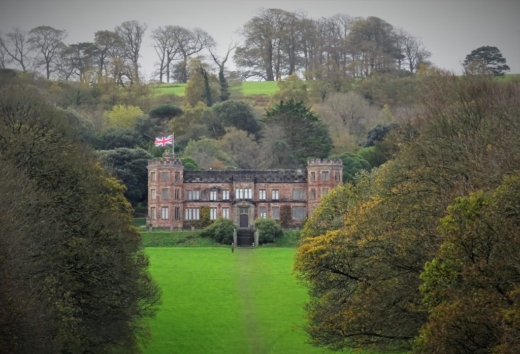
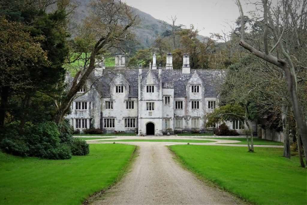
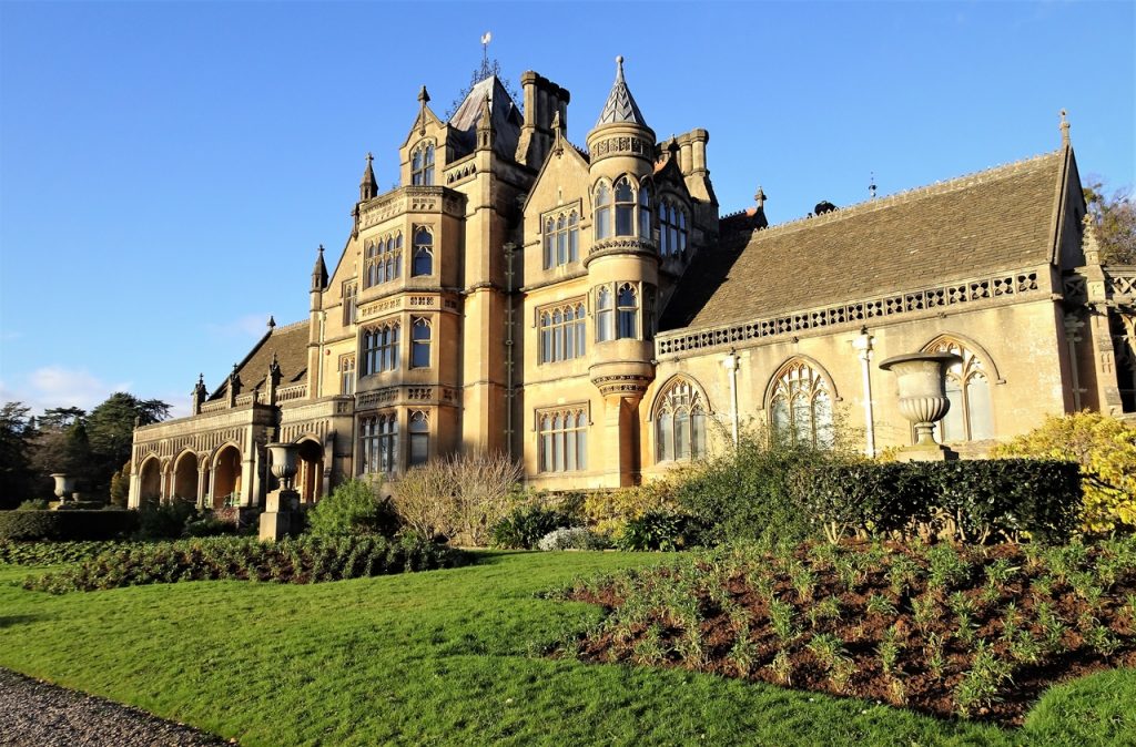
Tyntesfield House
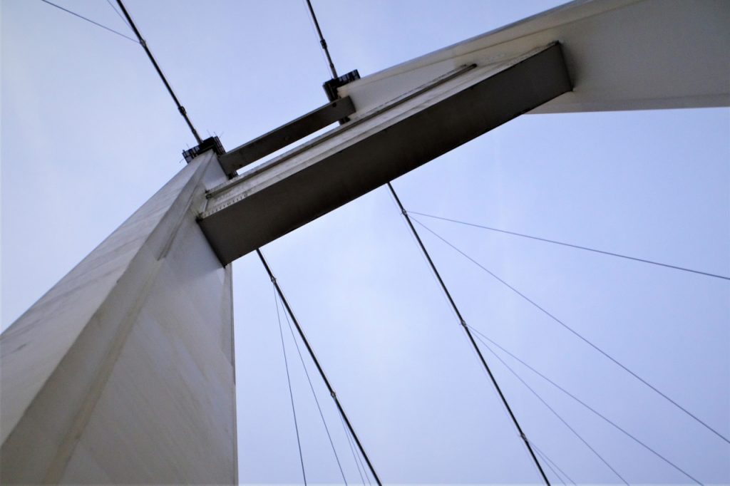
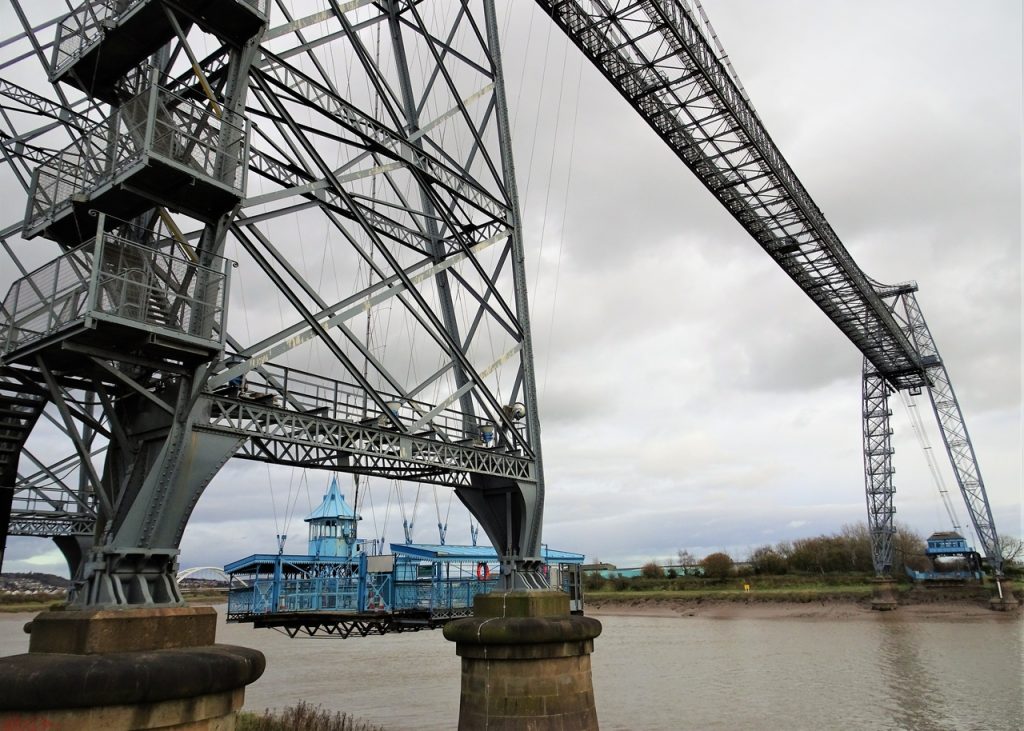
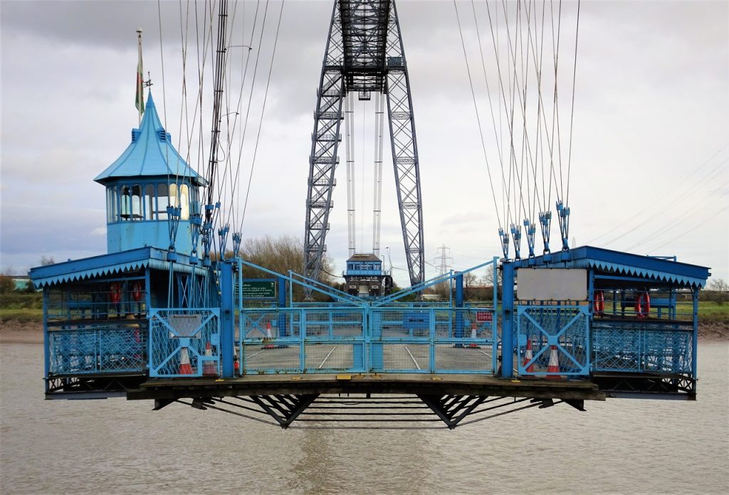
Severn Bridge
Newport
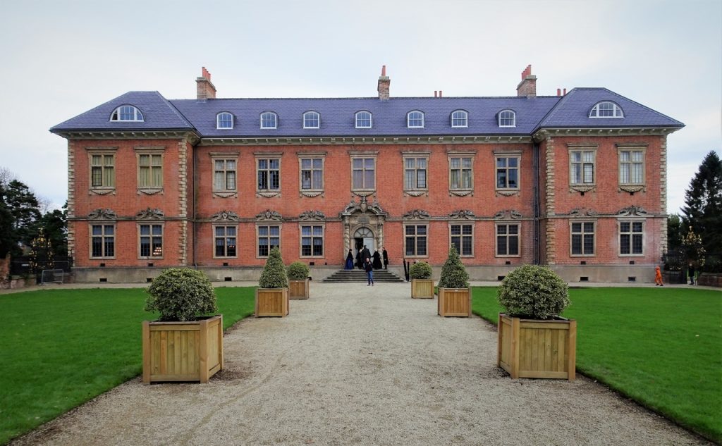
Tredegar House
Cardiff

Daily video