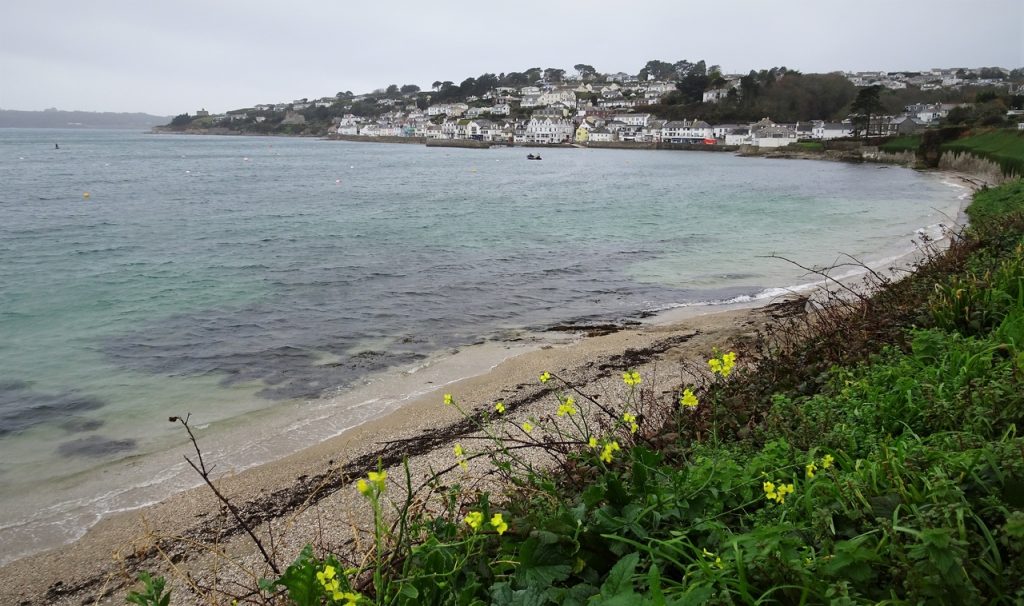
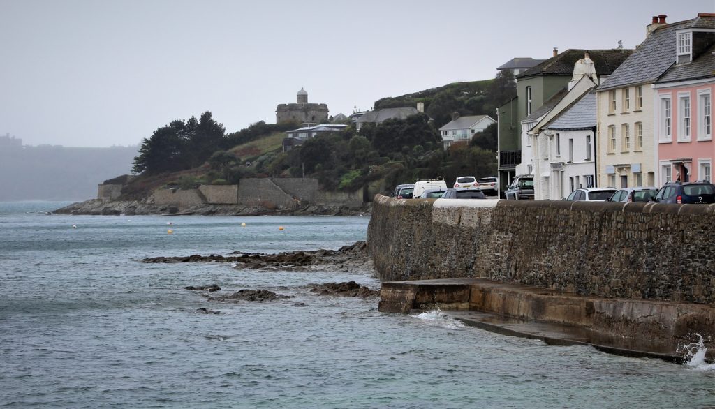
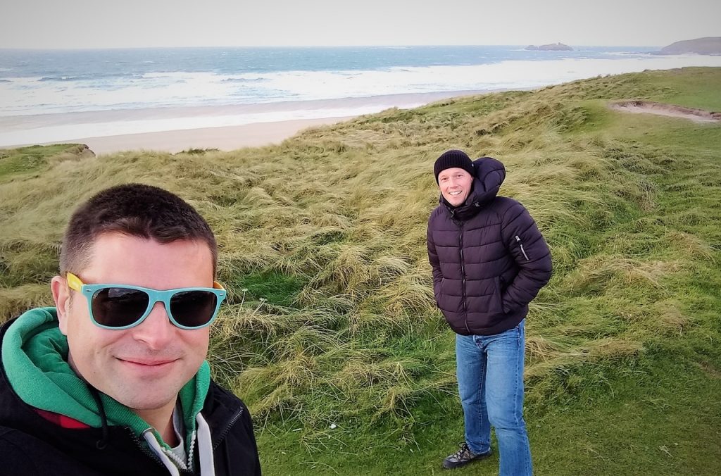
Day 46 – Helston to Newquay
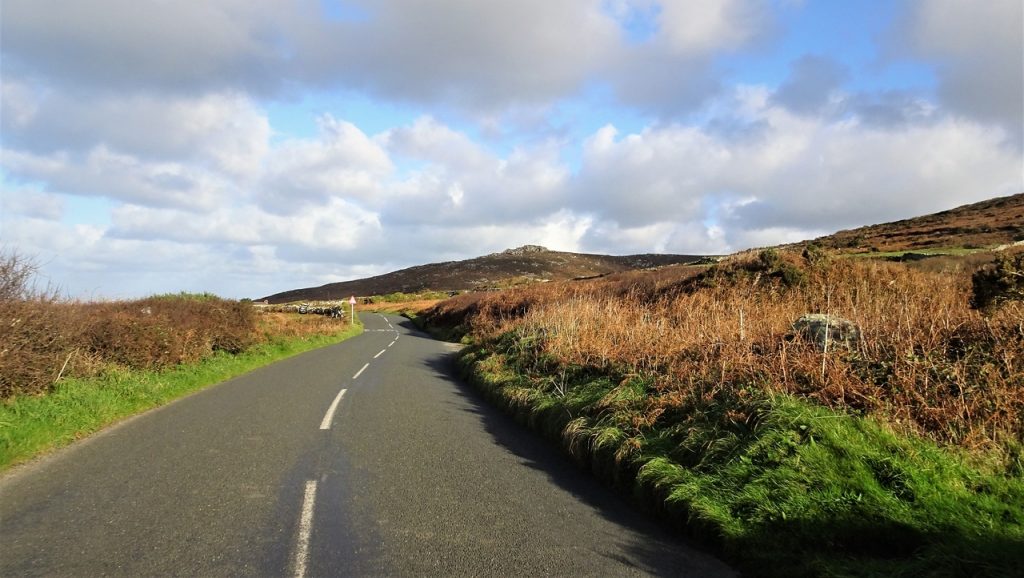
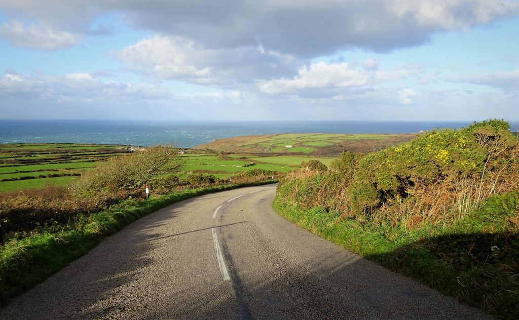
We will be driving just over one-hundred miles today as we head along the south coast of Cornwall to Land’s End, and back up the north coast towards Newquay. The weather has improved from yesterday’s miserable effort – yay!
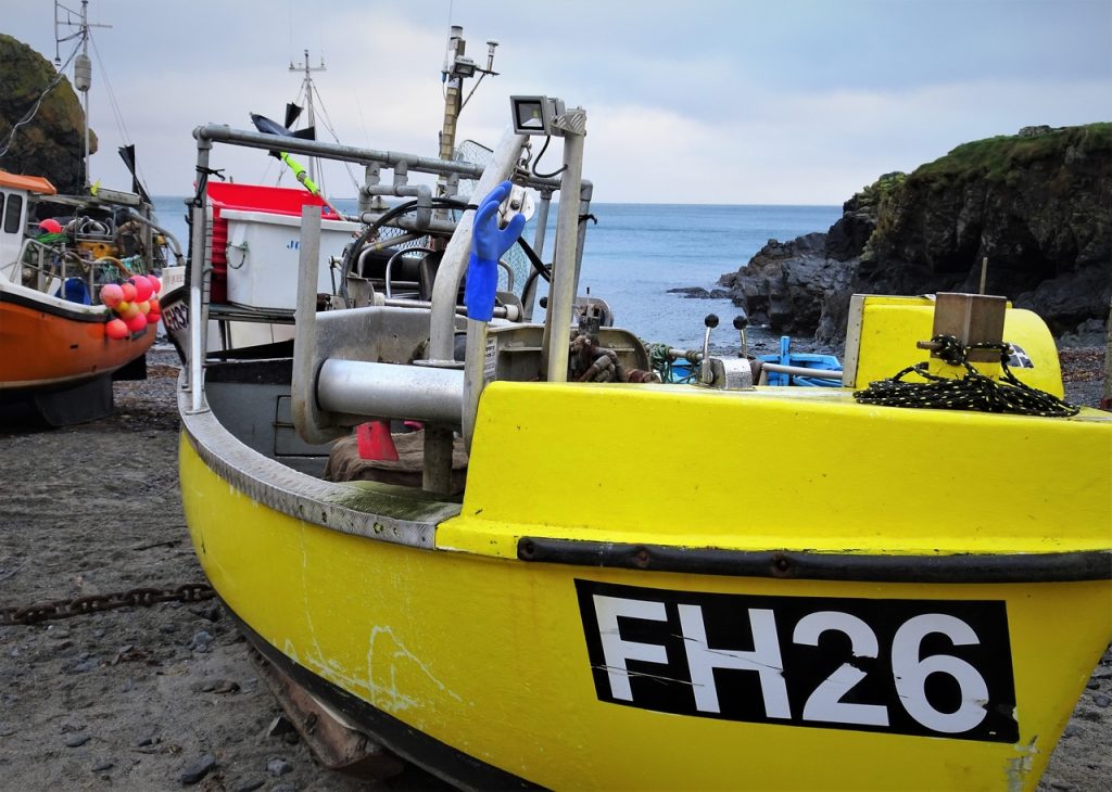
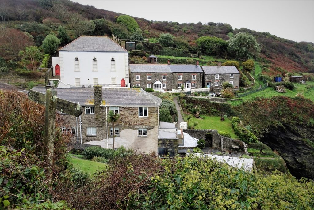
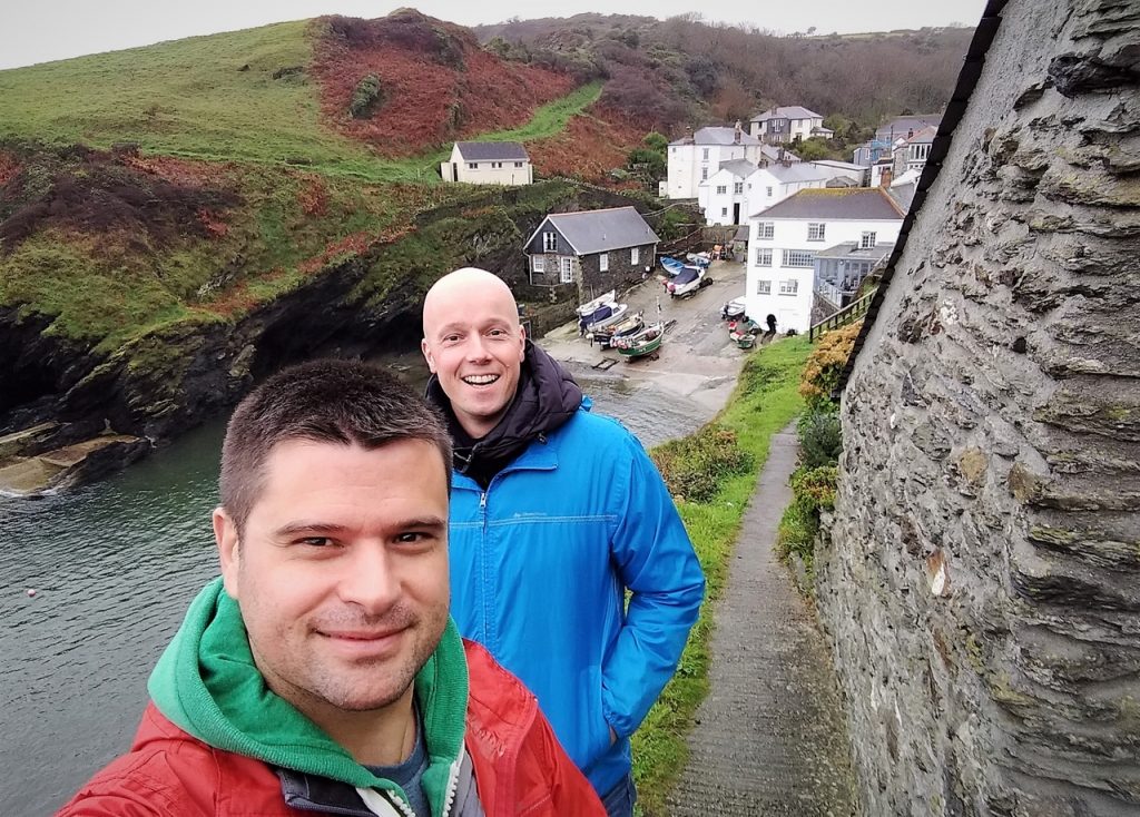
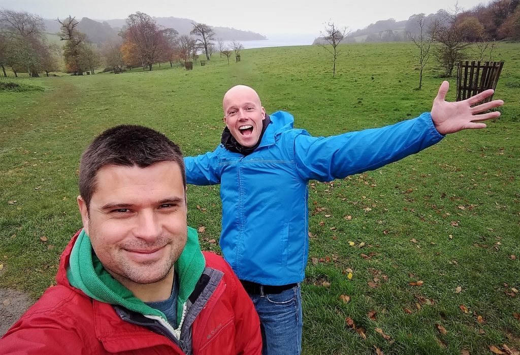
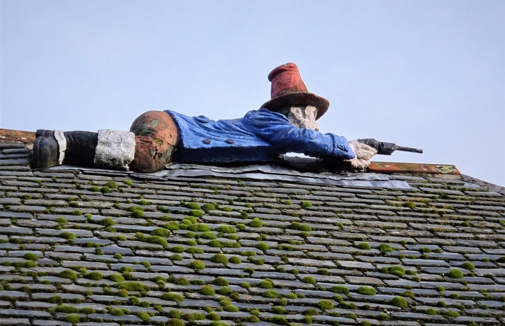
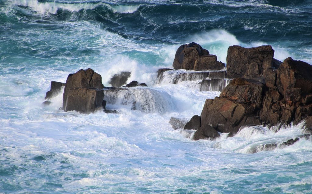
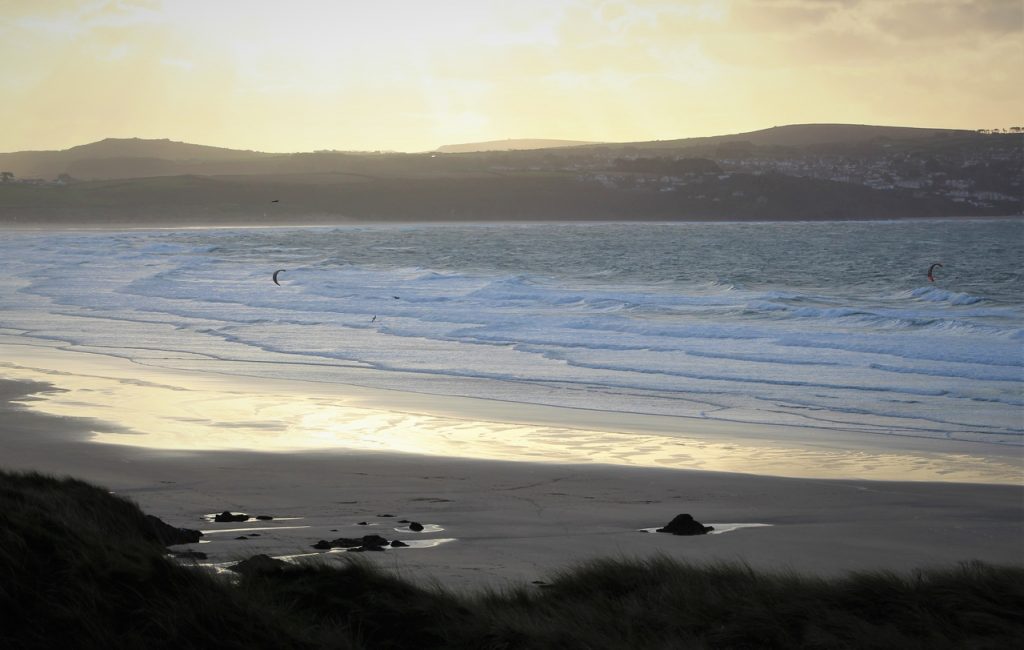
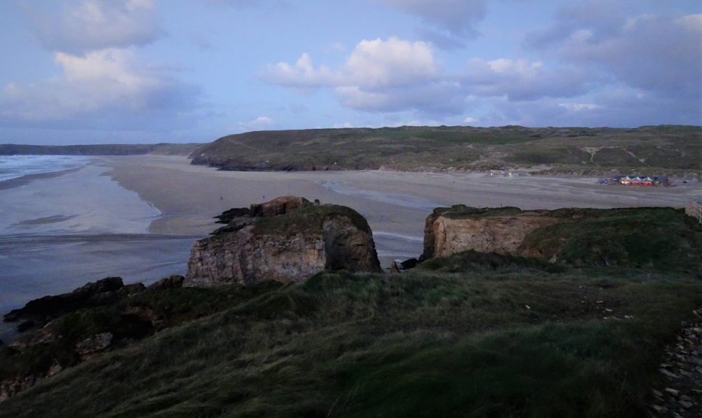
Photo of the day
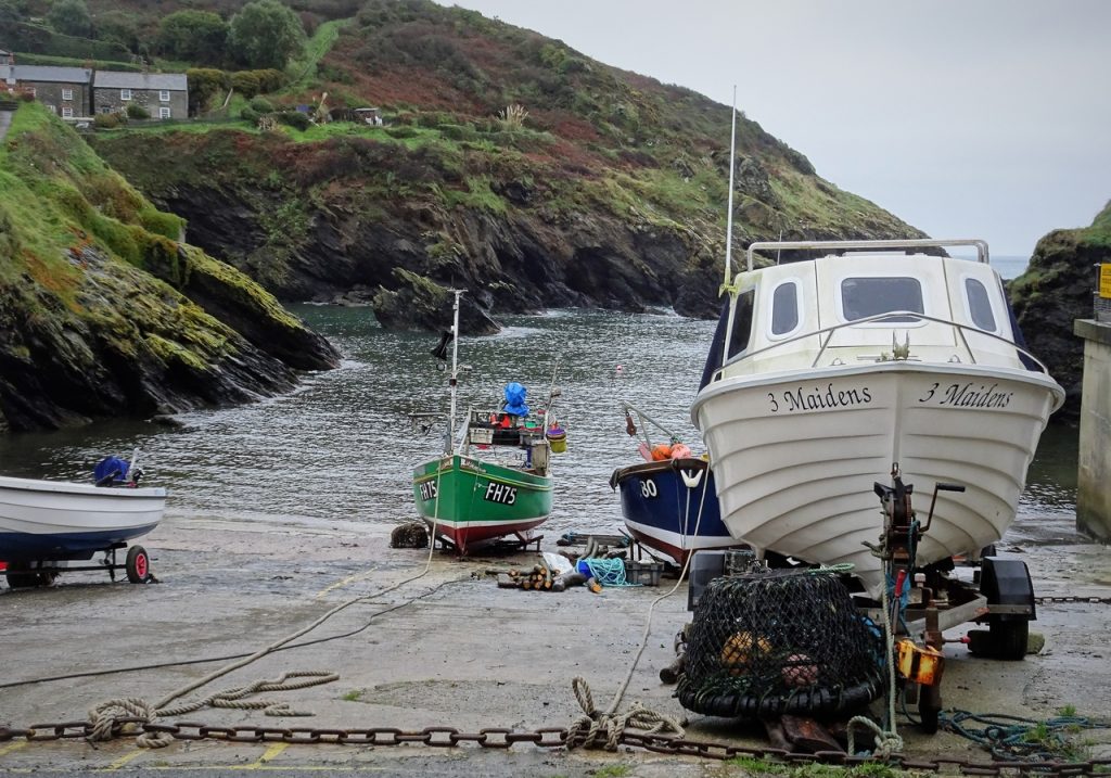
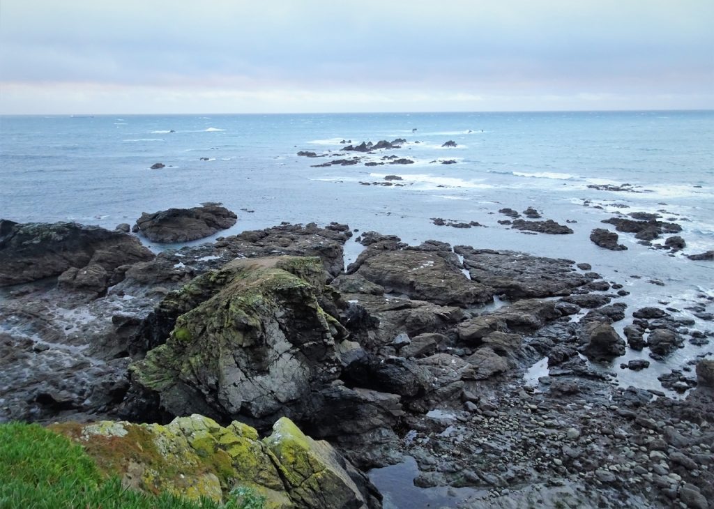
Portleven
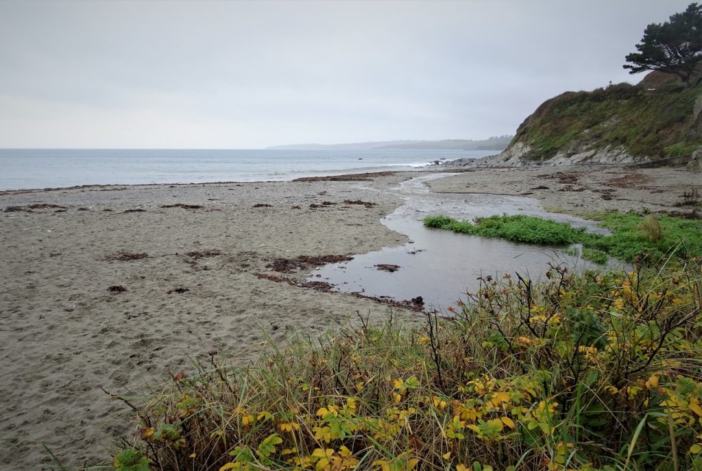
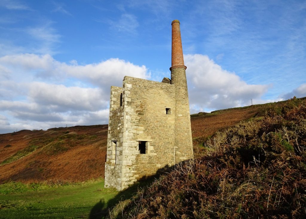
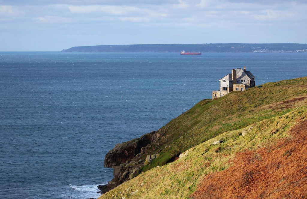
Rinsey
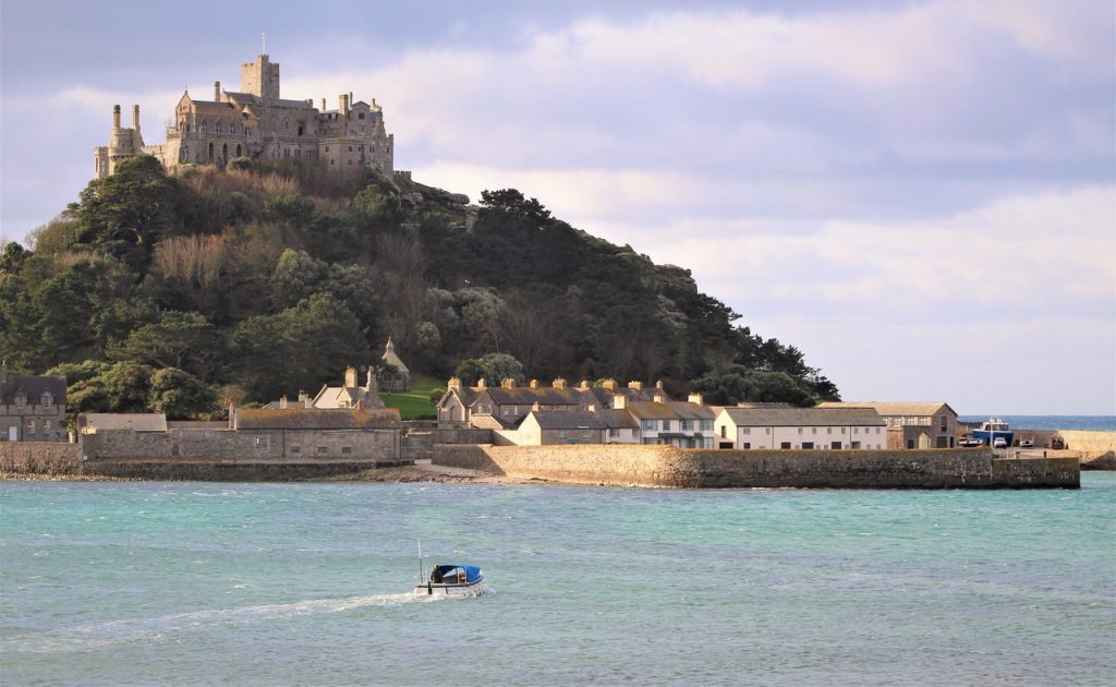
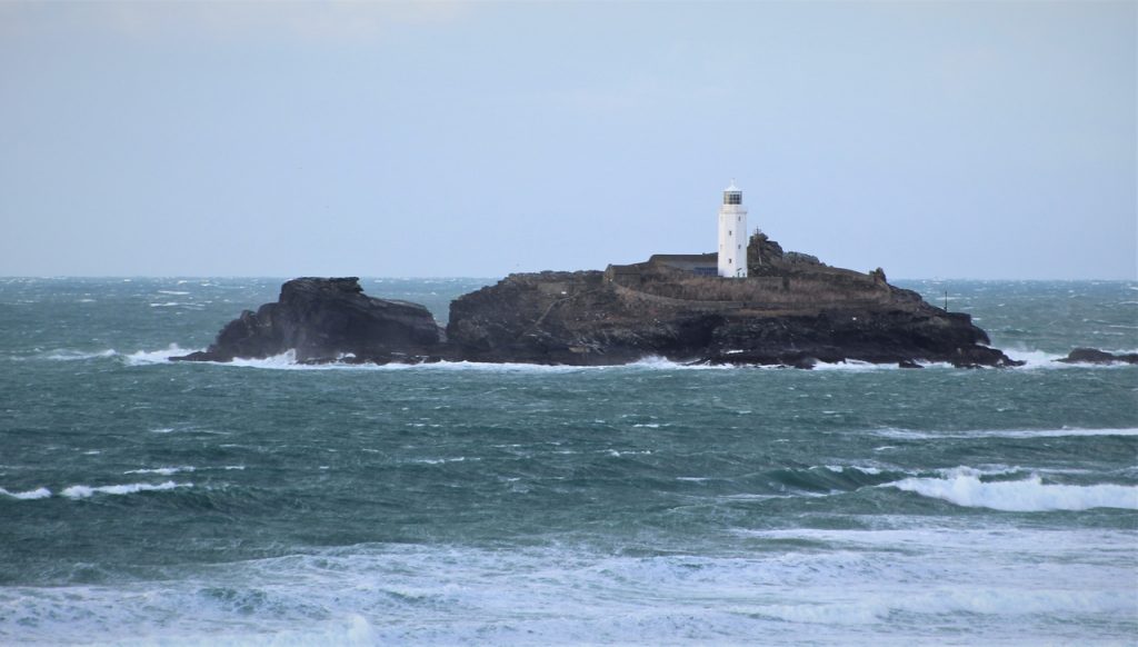
Marazion and St Michael’s Mount
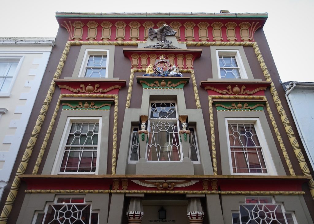
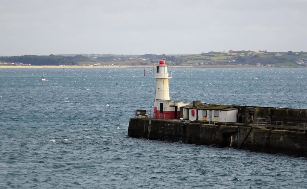
Penzance
Newlyn
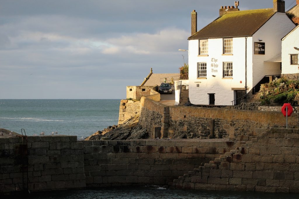
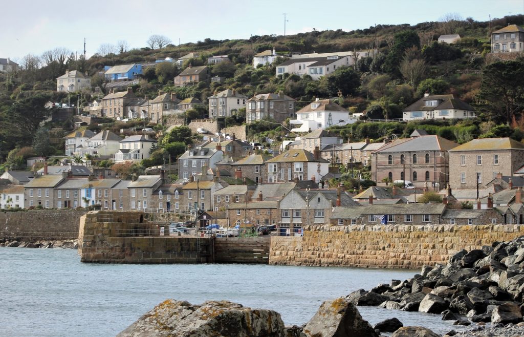
Mousehole
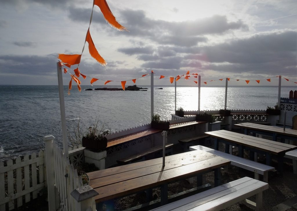
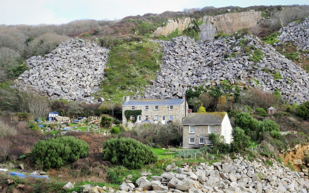
Lamorna
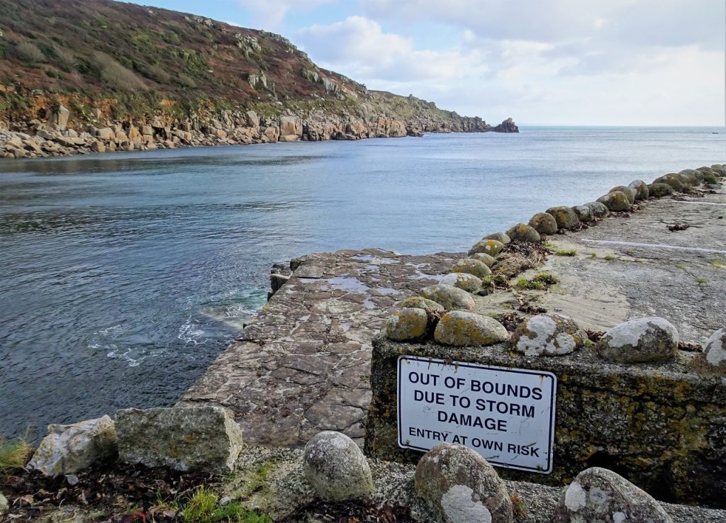
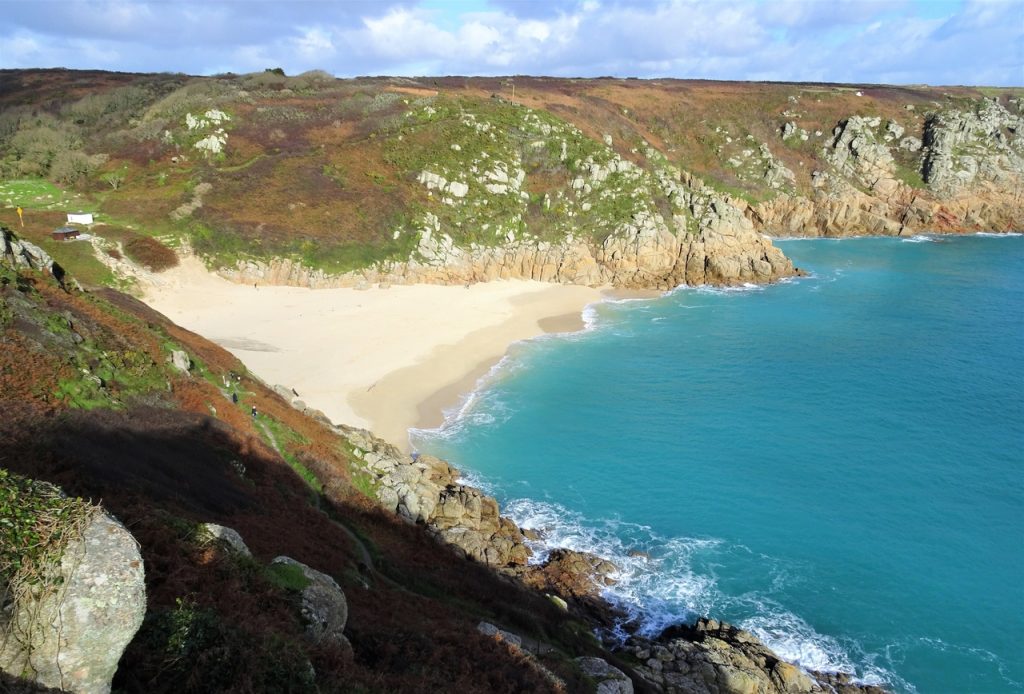
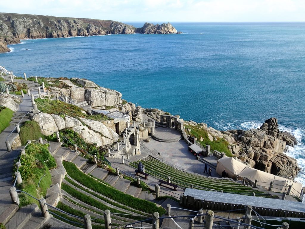
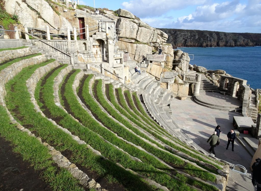
Porthcurno
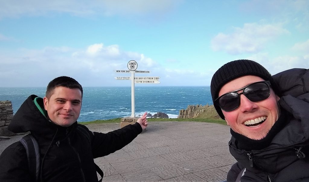
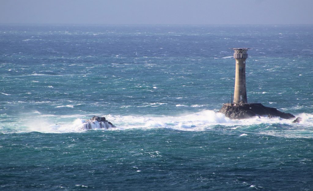
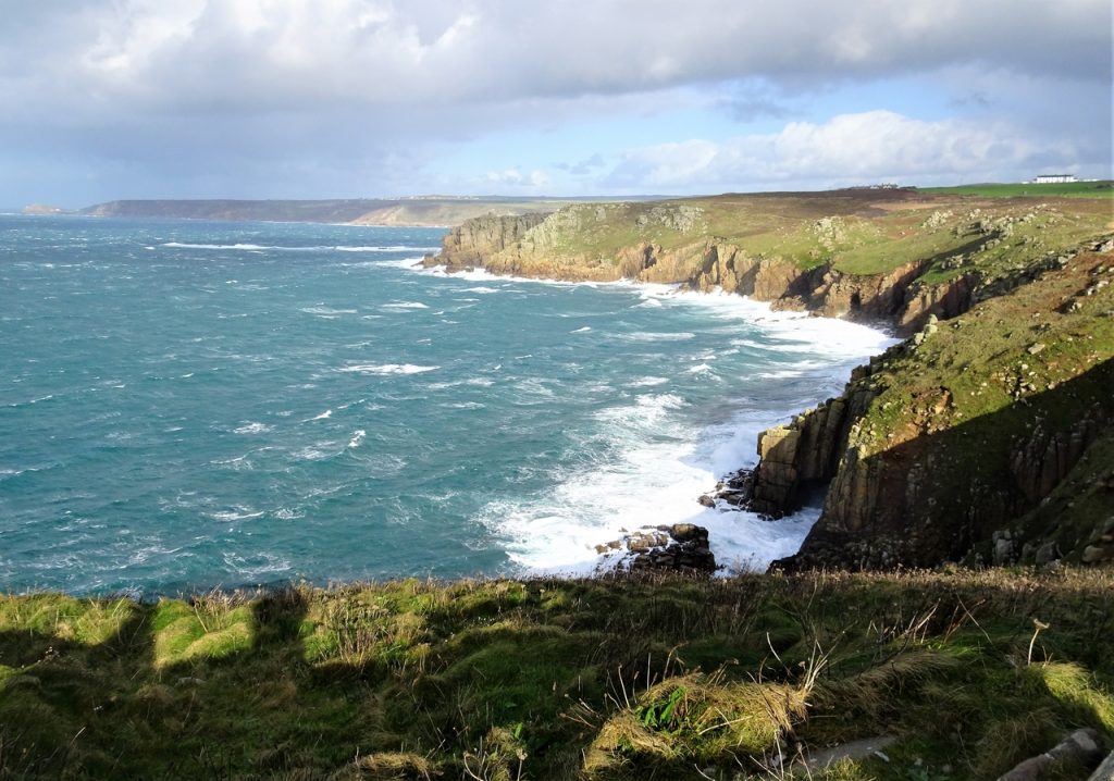
Land’s End
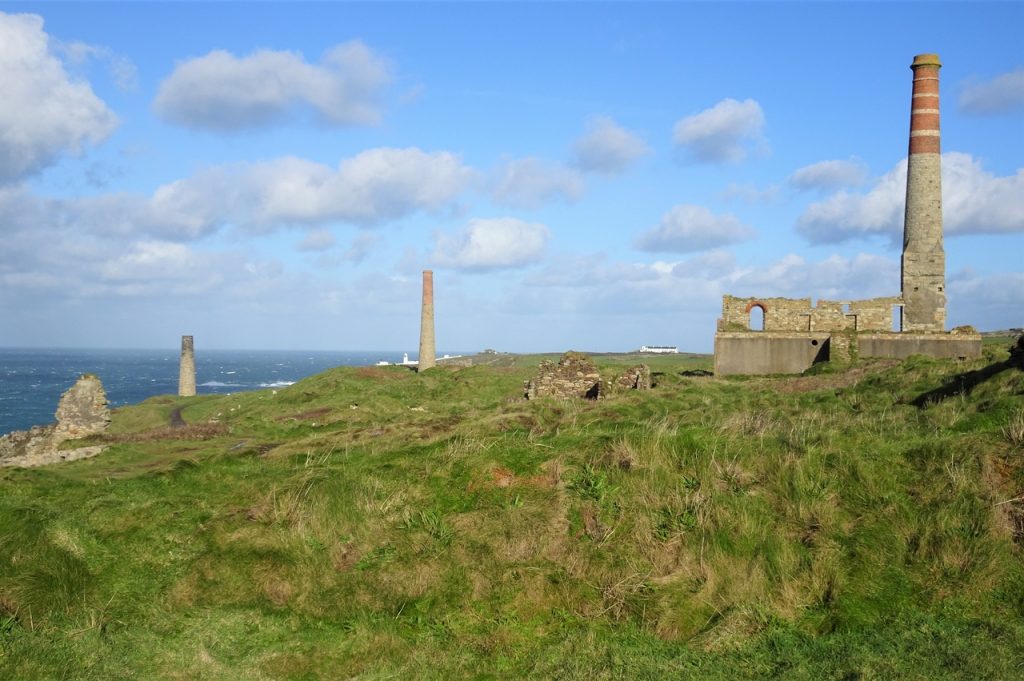
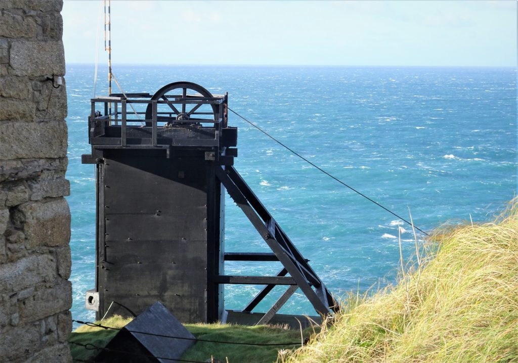
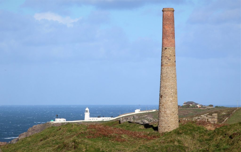
Pendeen
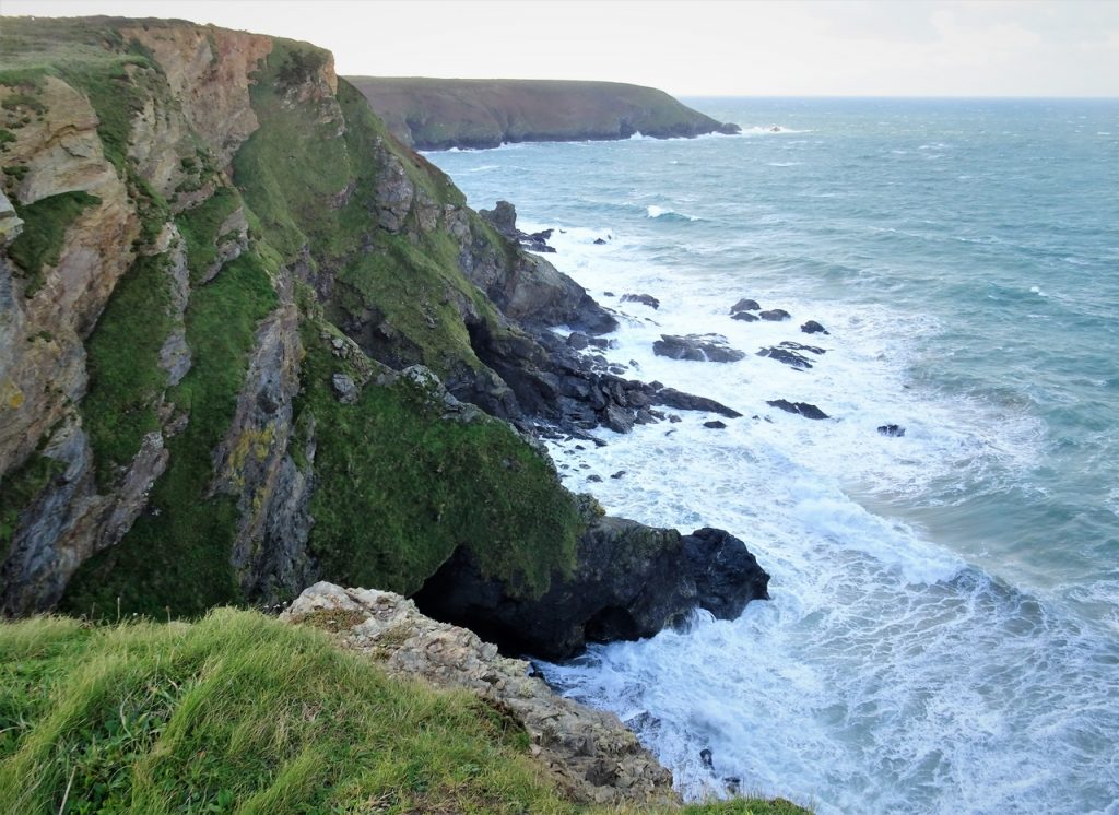
Carn Galver
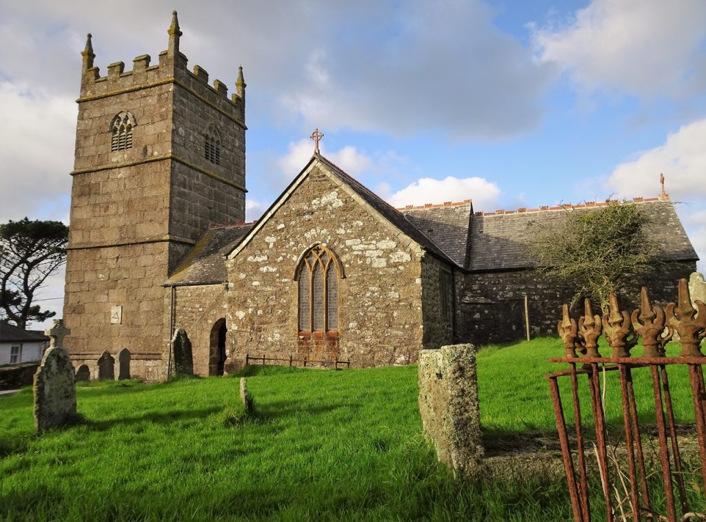
Zennor
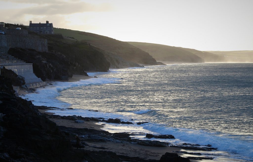
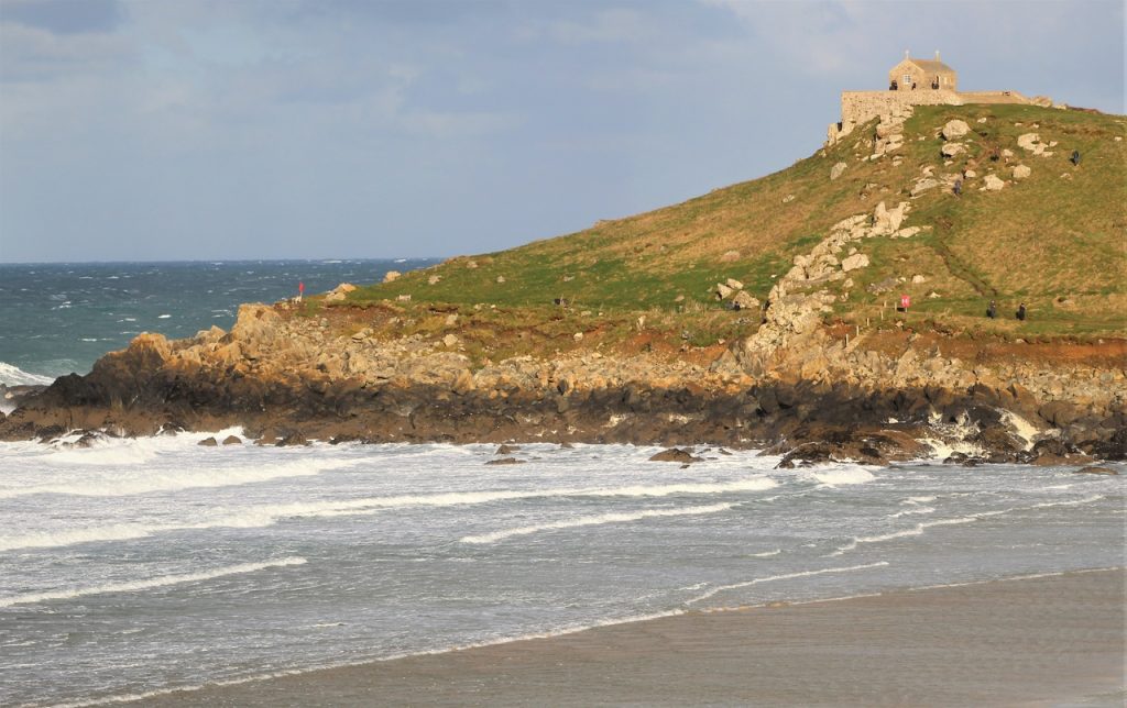
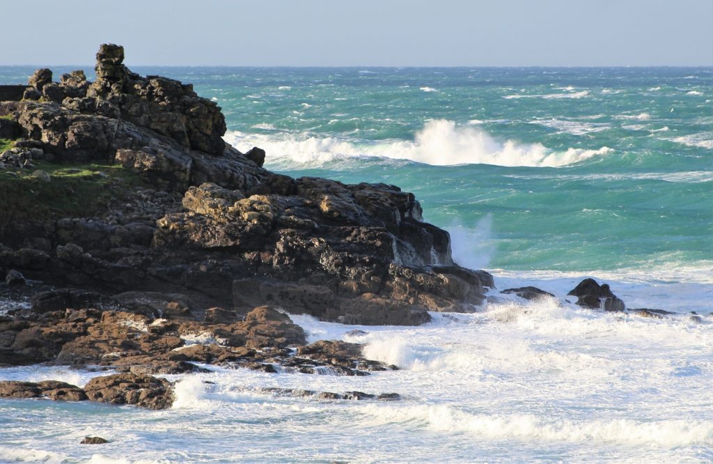
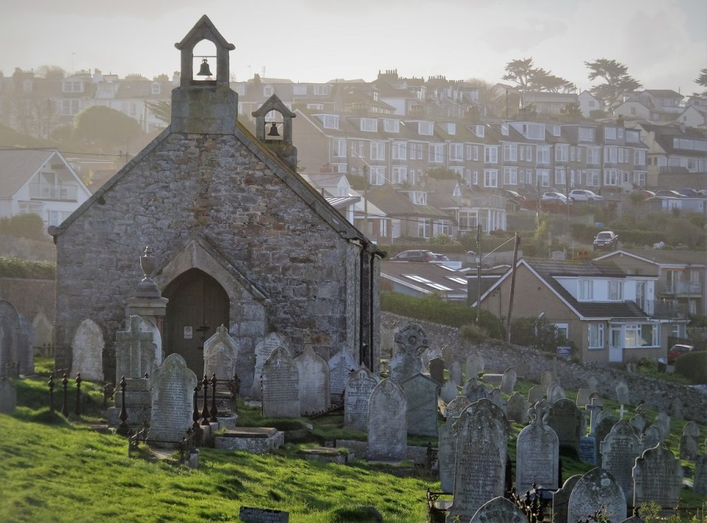
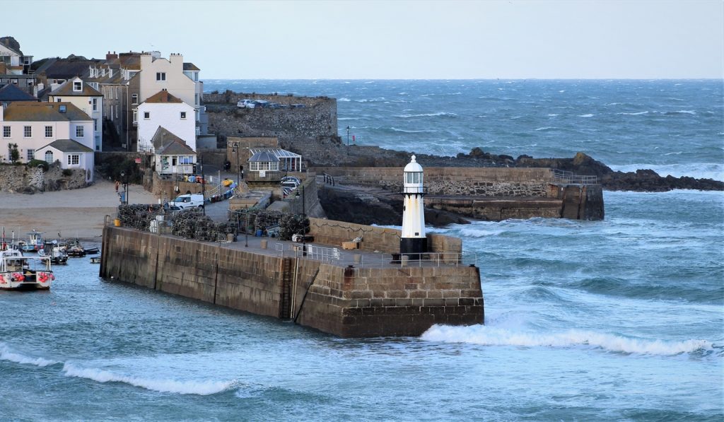
St Ives
Gwithian
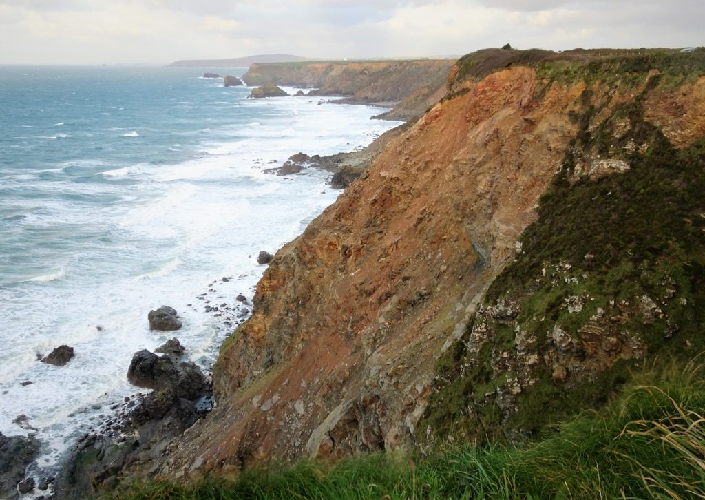
Godrevy-Portreath Heritage Coast
Porthtowan
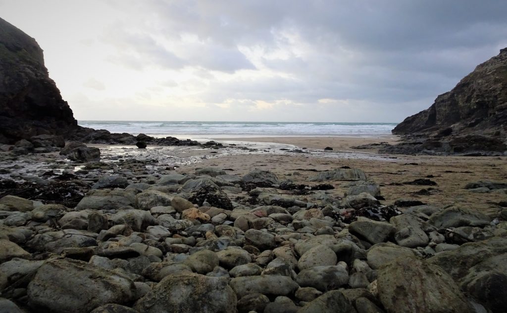
Chapel Porth
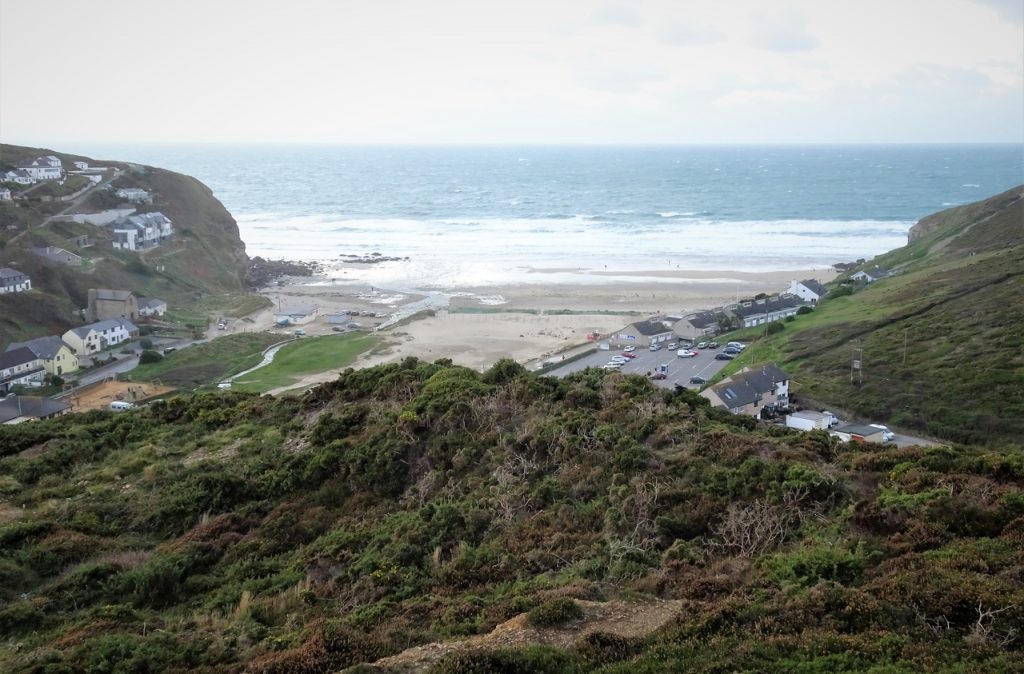
Perranporth
Daily video