Day 44 – Plymouth to St Austell
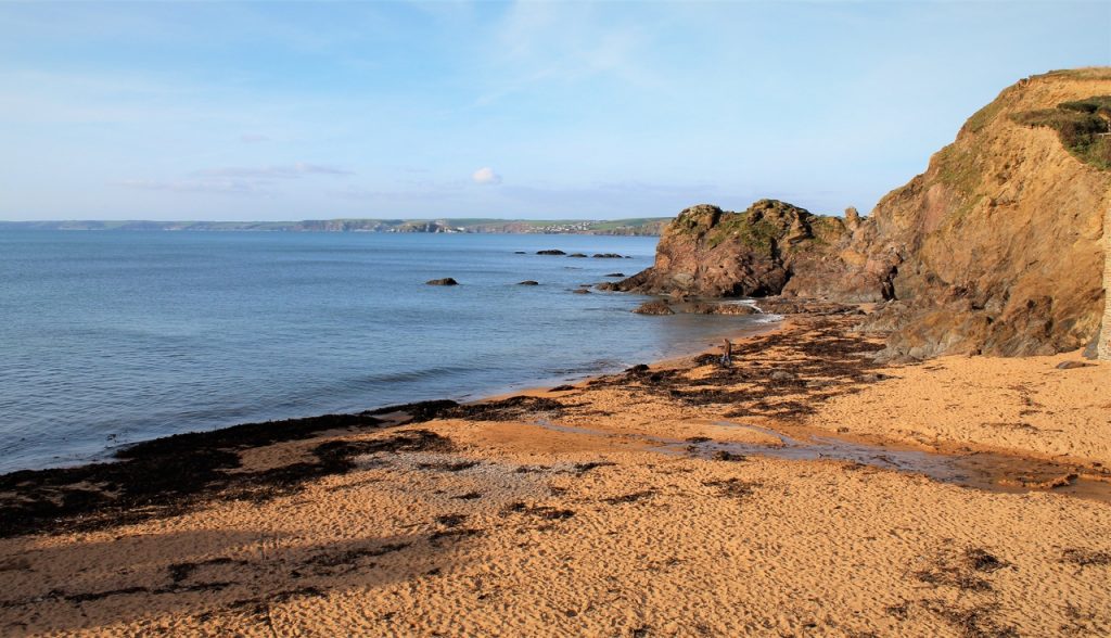
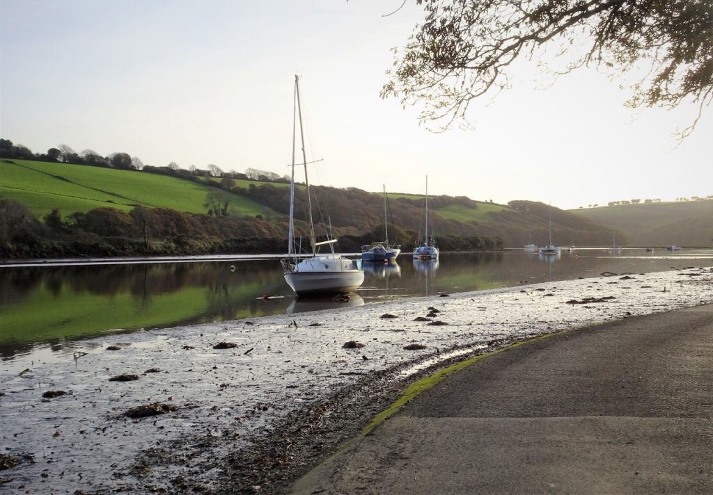
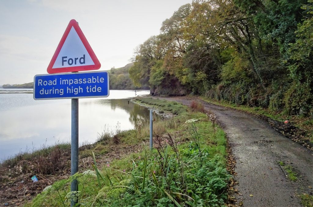
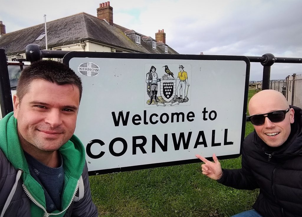
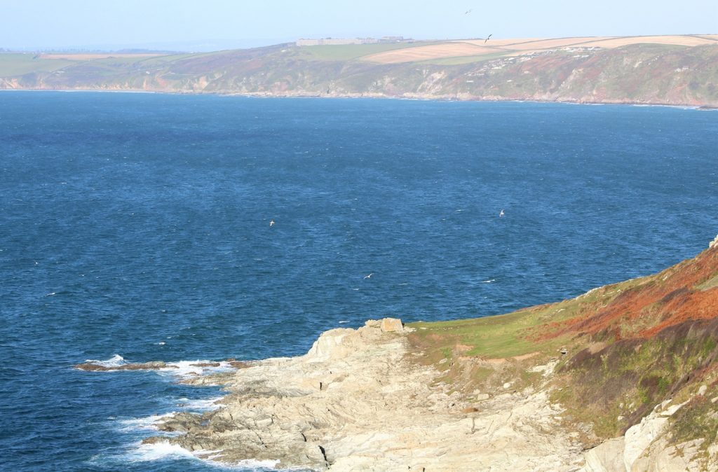
On day forty-four, after visiting Plymouth, we are heading into Cornwall. So join us on our journey along the beautiful southwest coast…
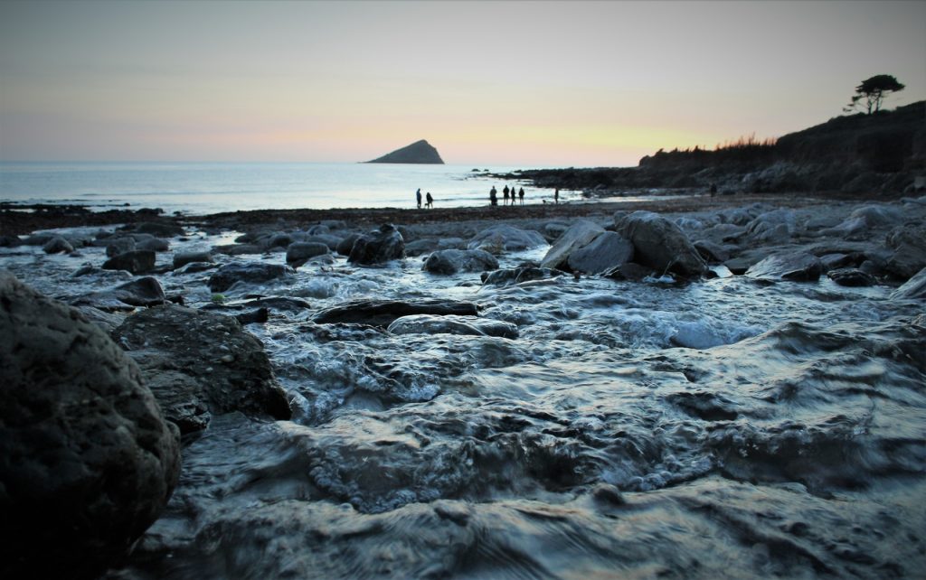
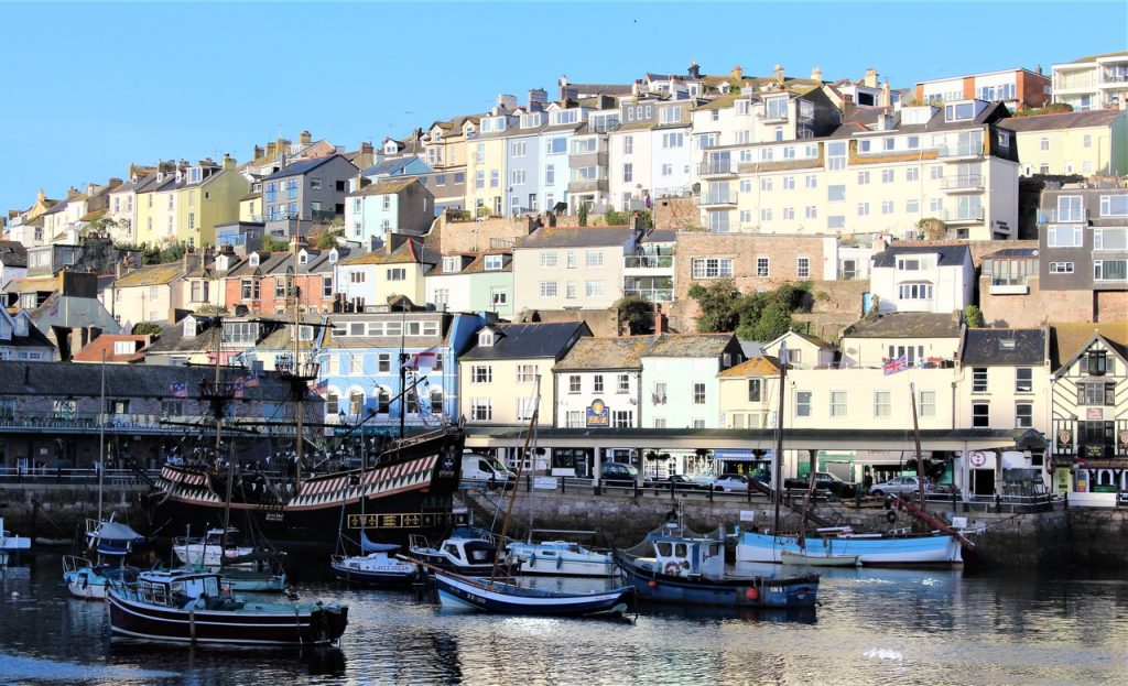
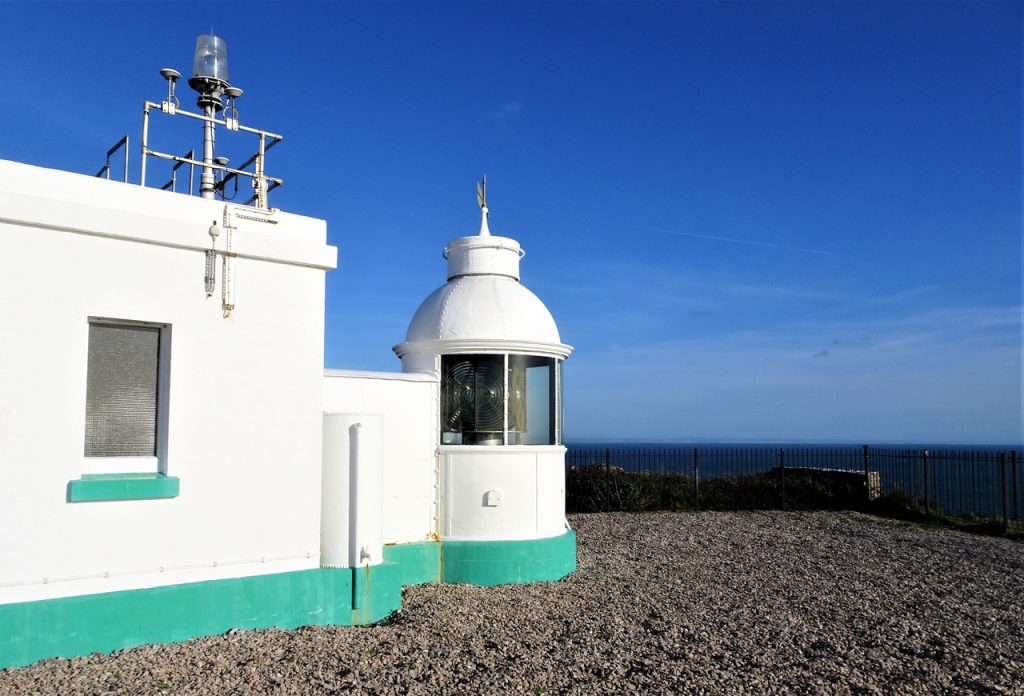
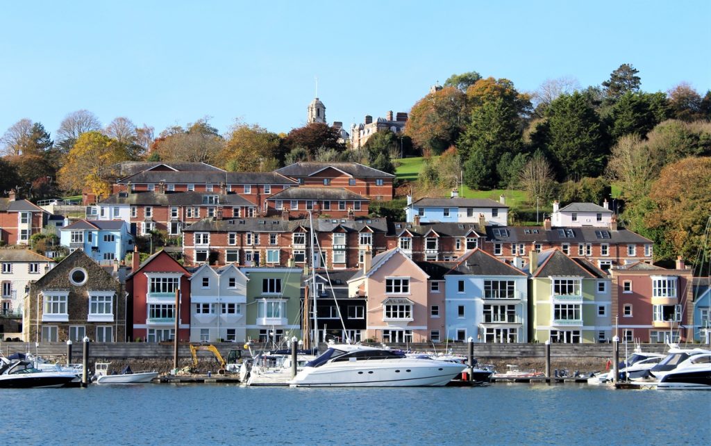
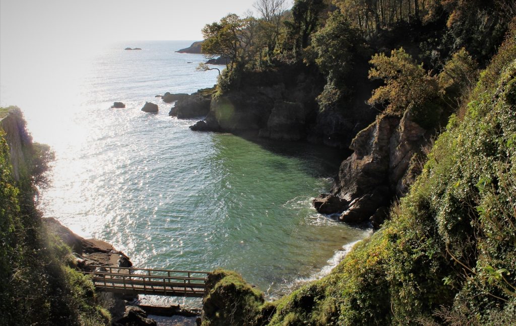
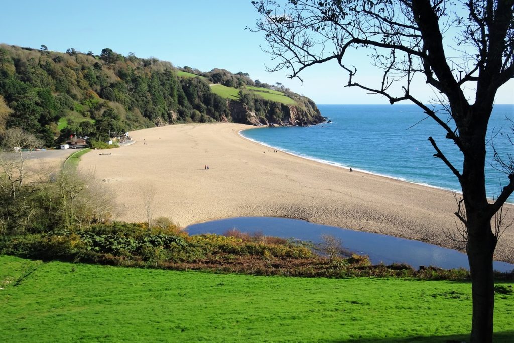
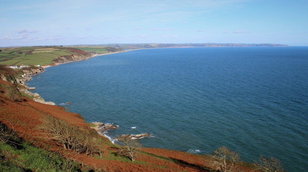
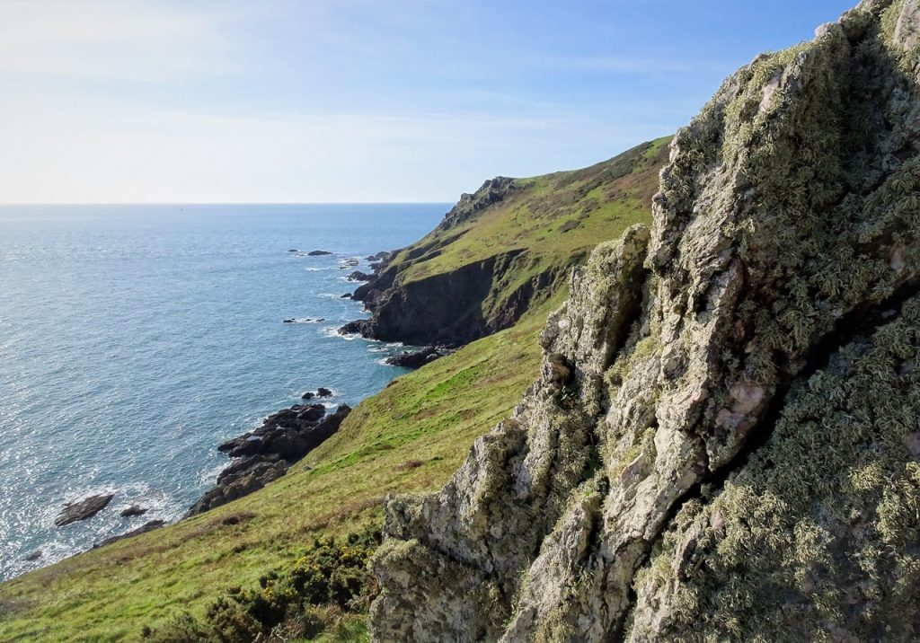
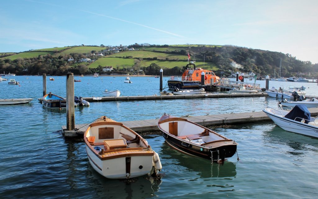
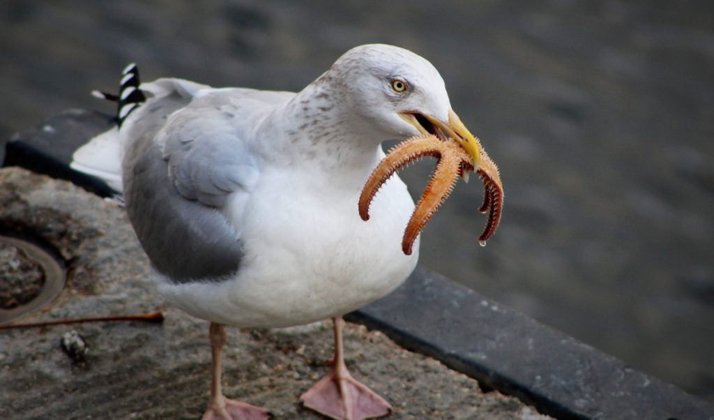
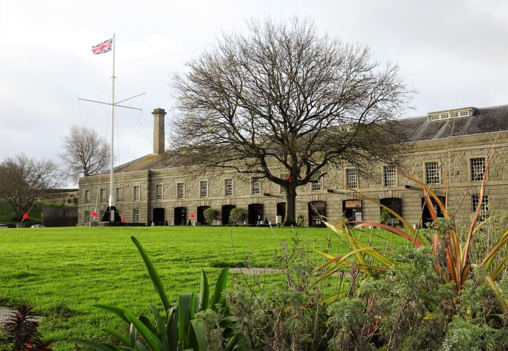
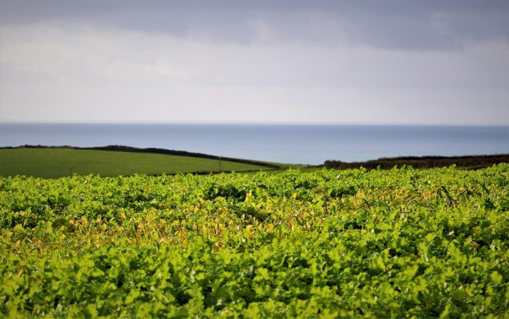
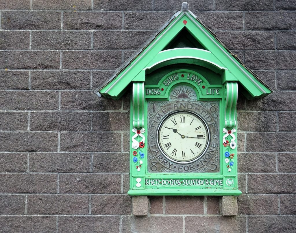
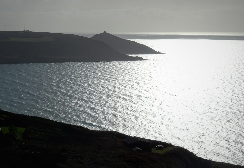
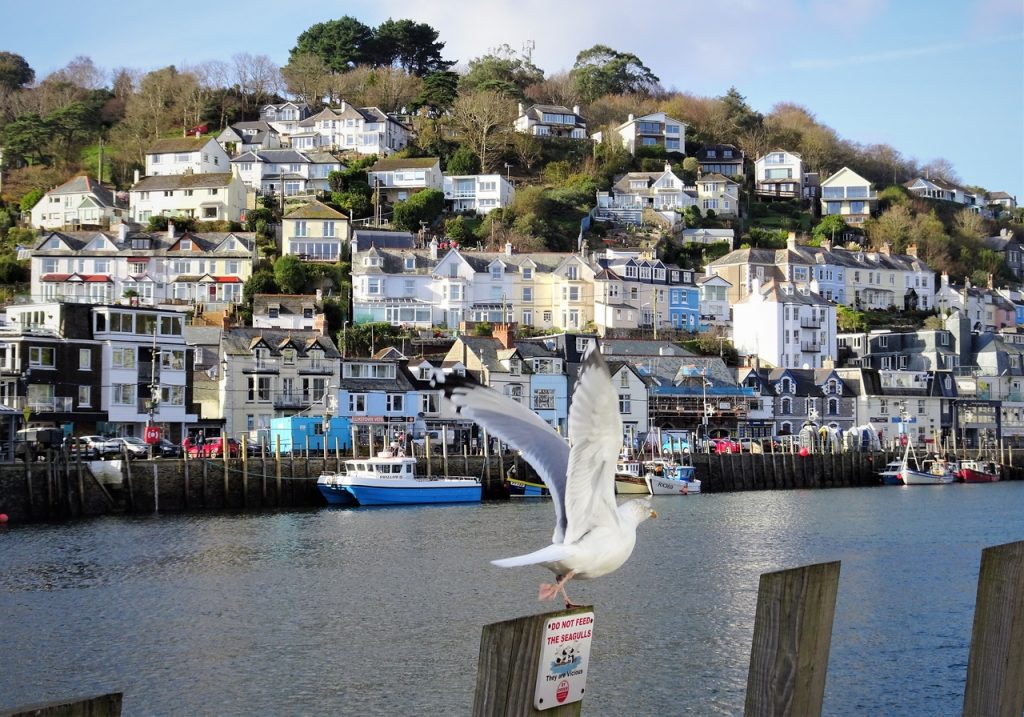
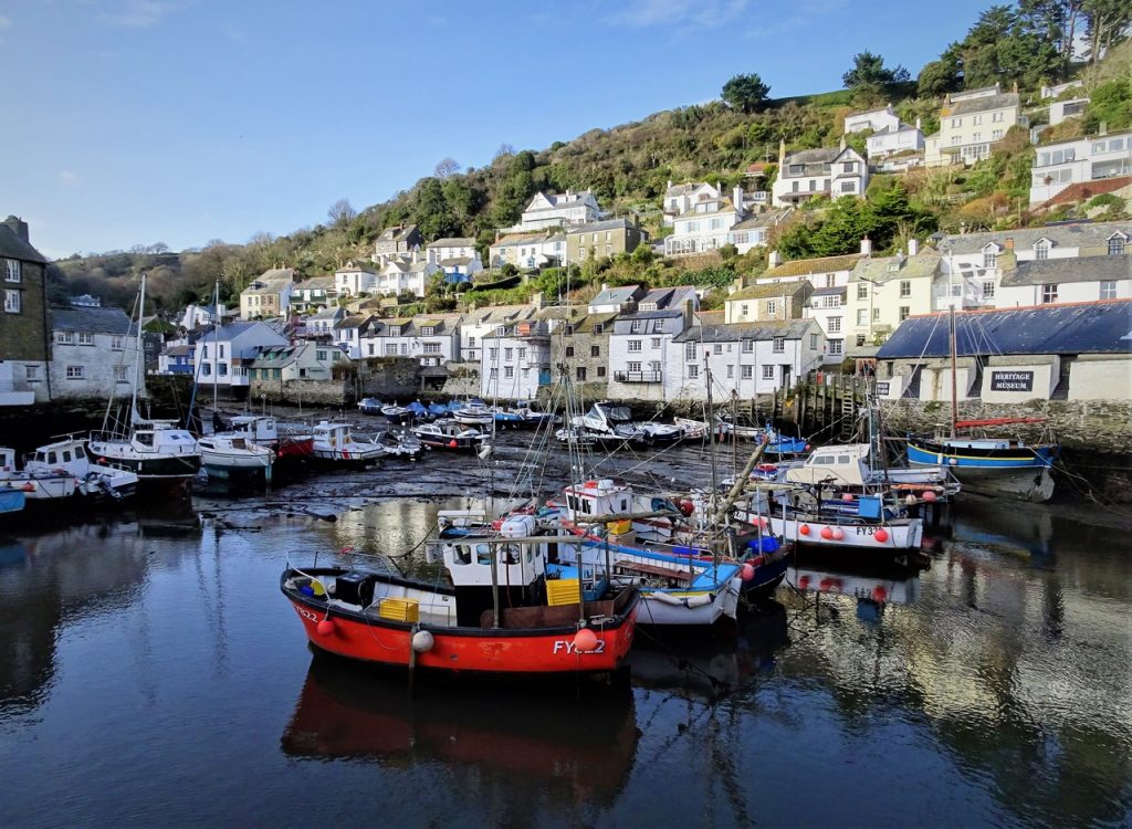
Photo of the day
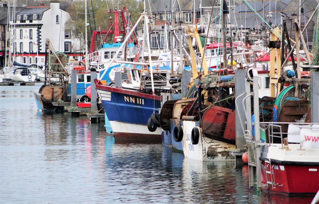
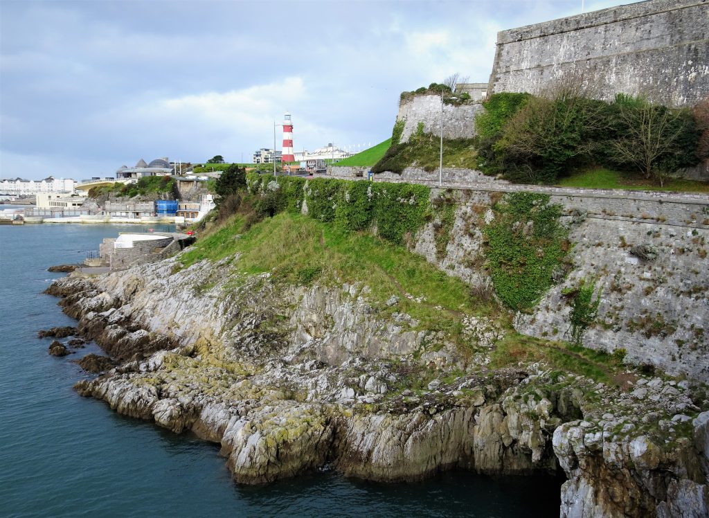
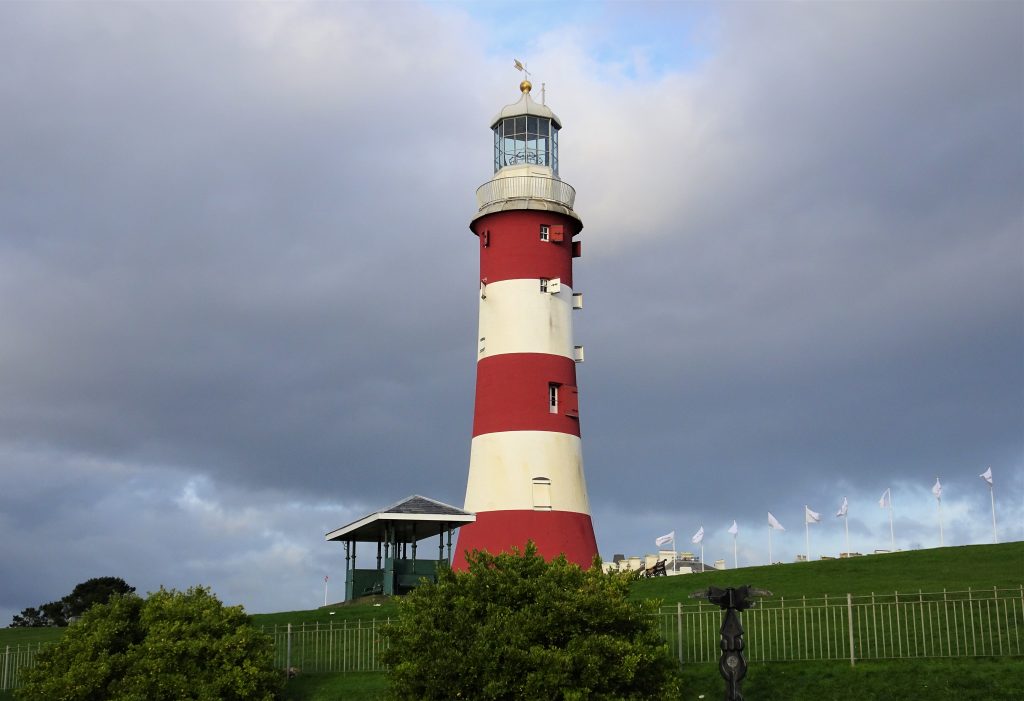
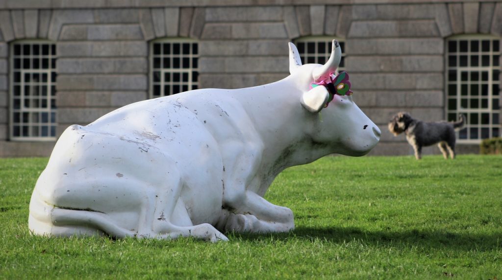
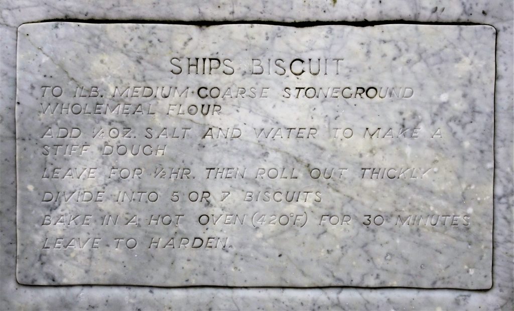
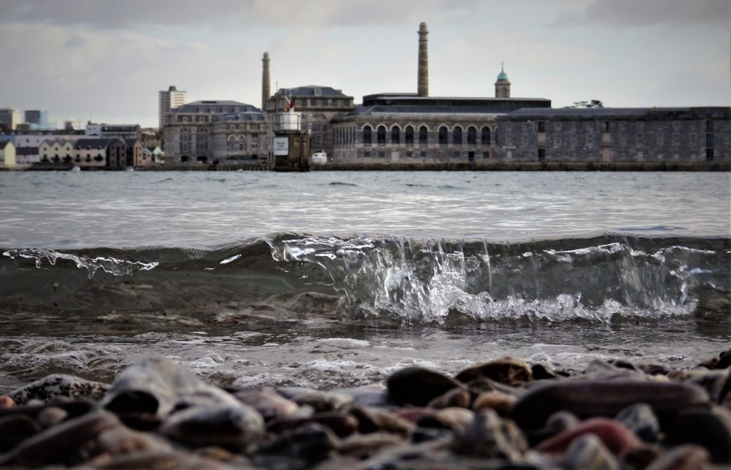
Plymouth
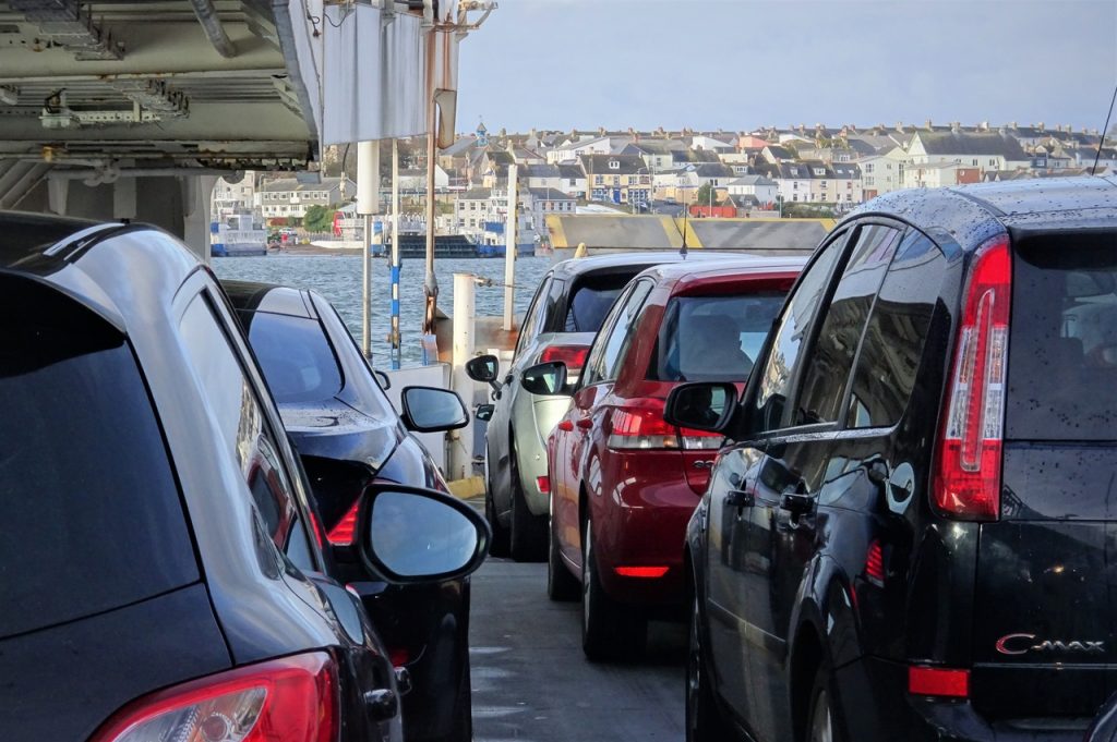
Tor Point
St John
Cremyll
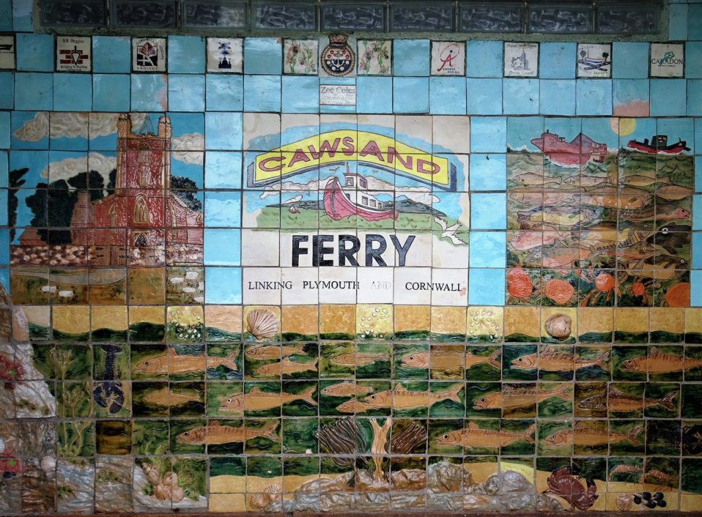
Cawsand
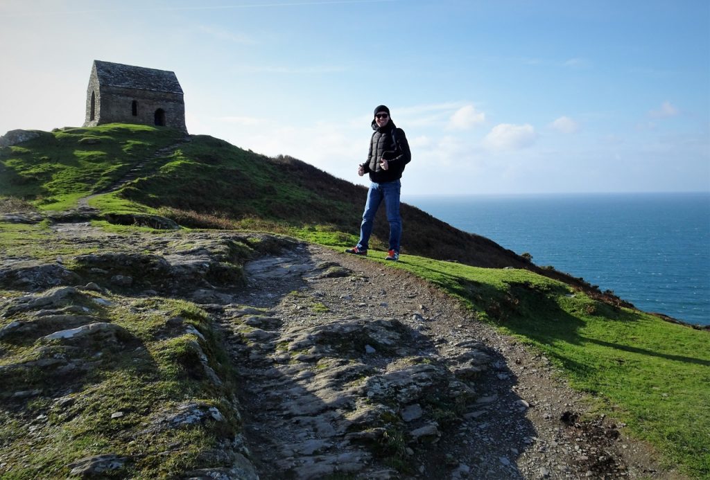
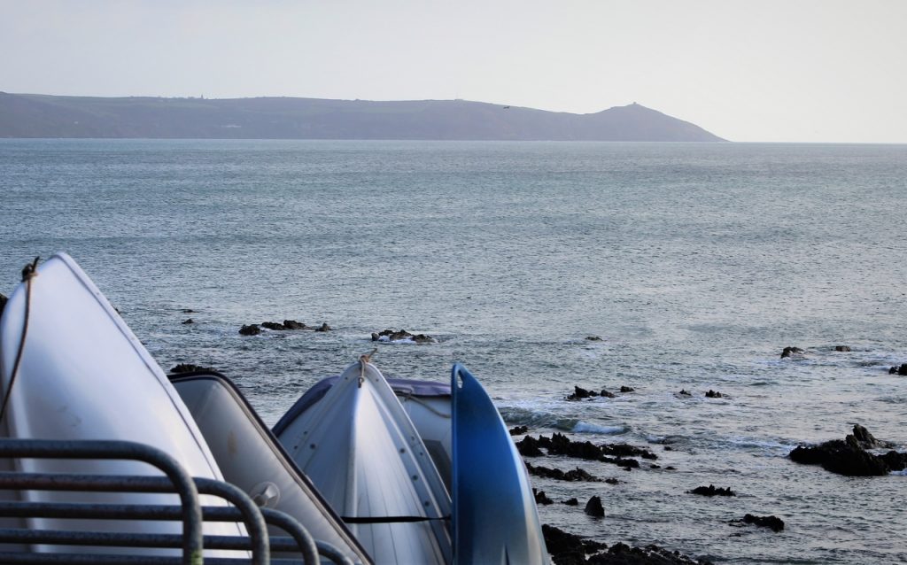
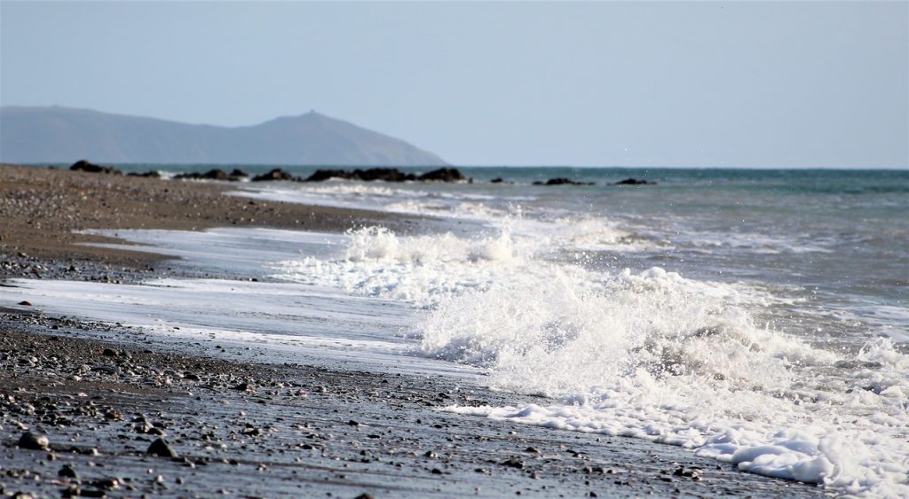
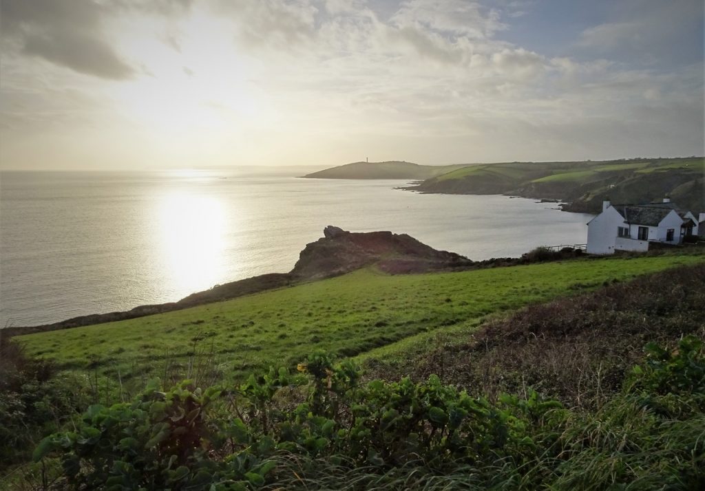
Rame Head
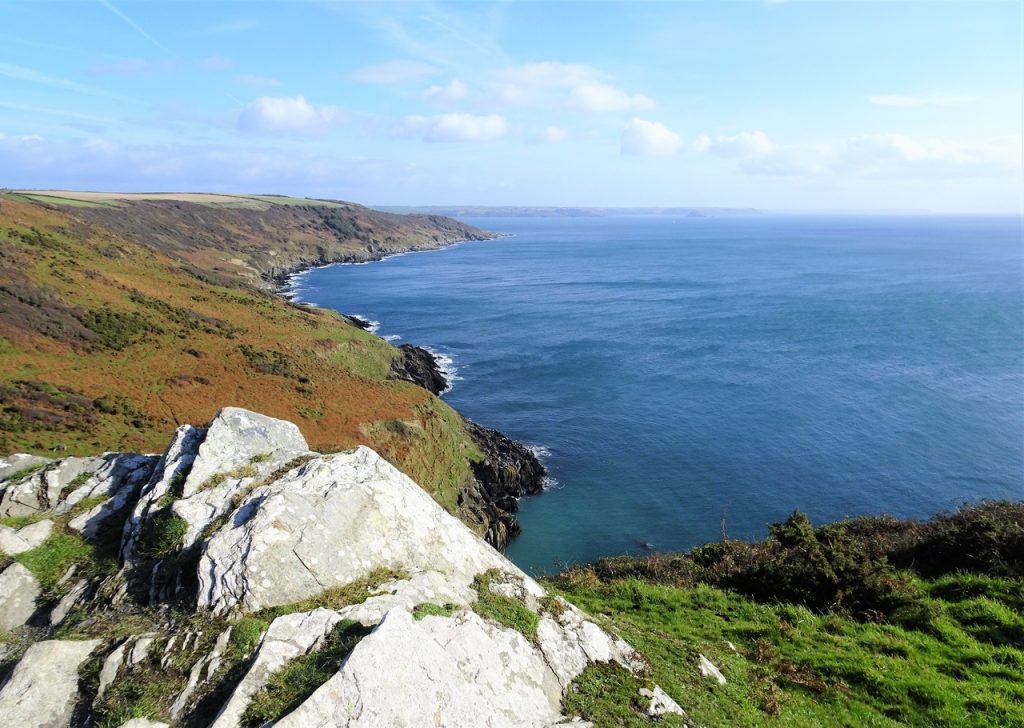
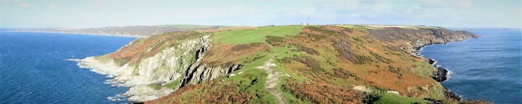
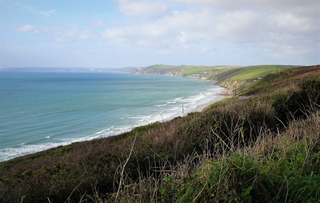
Whitsand Bay
Portwrinkle
Downderry
Seaton
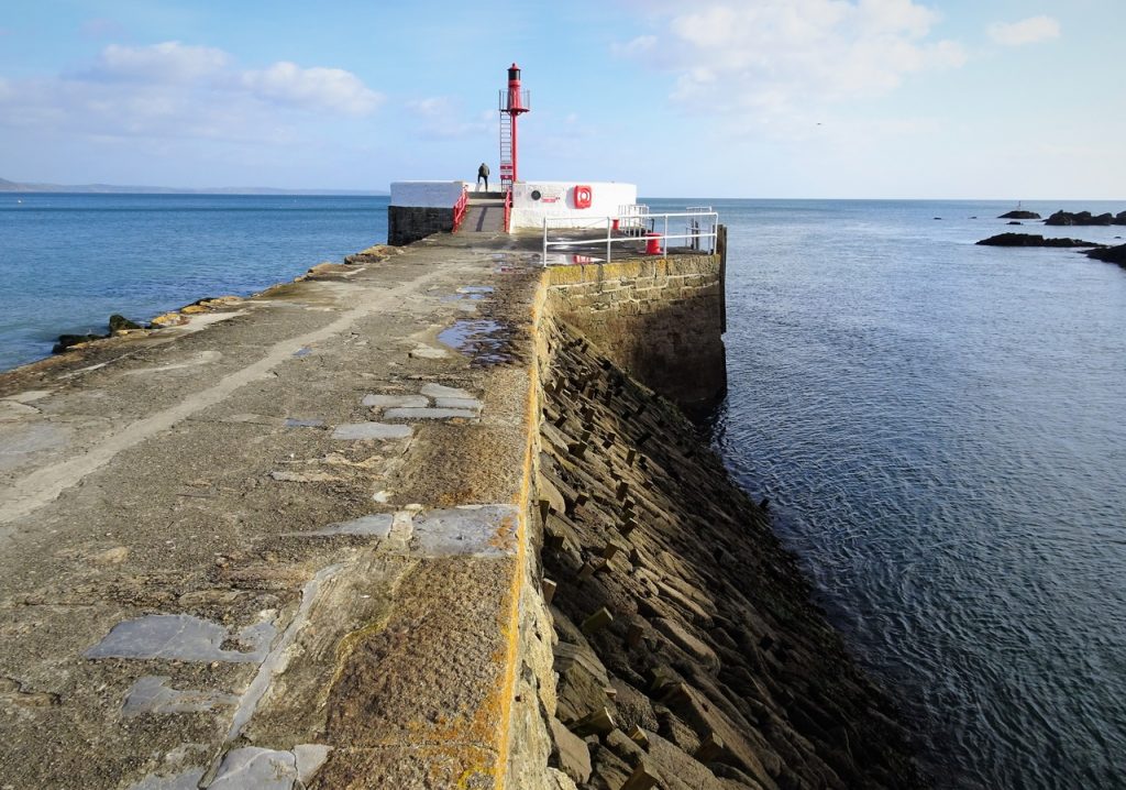
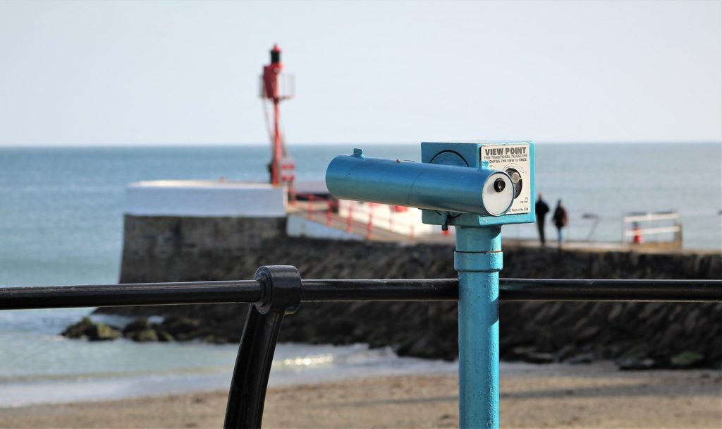
Looe
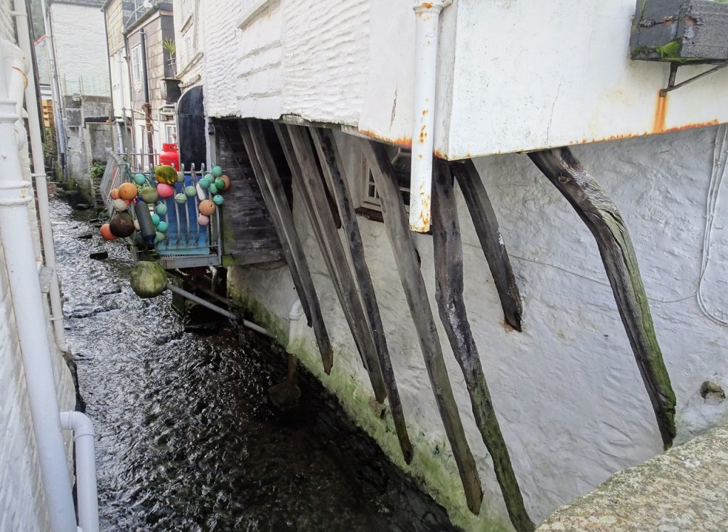
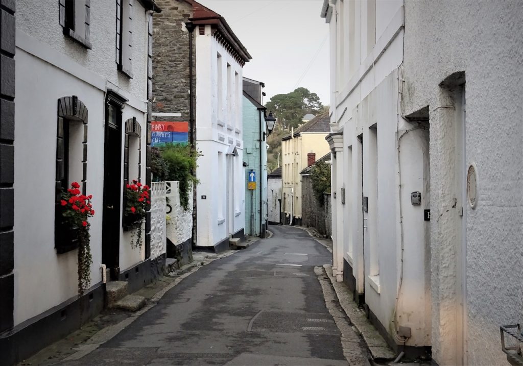
Polperro
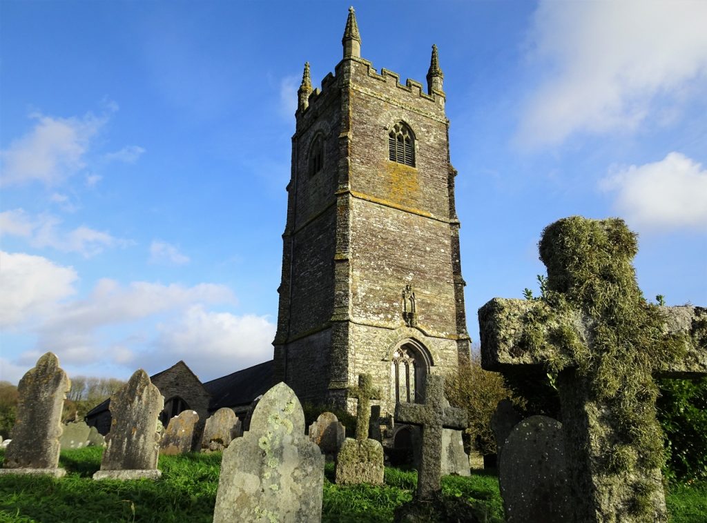
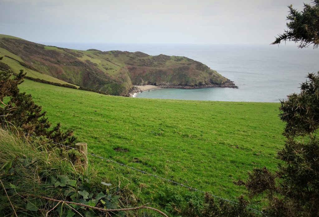
Lansallos
Lantivet
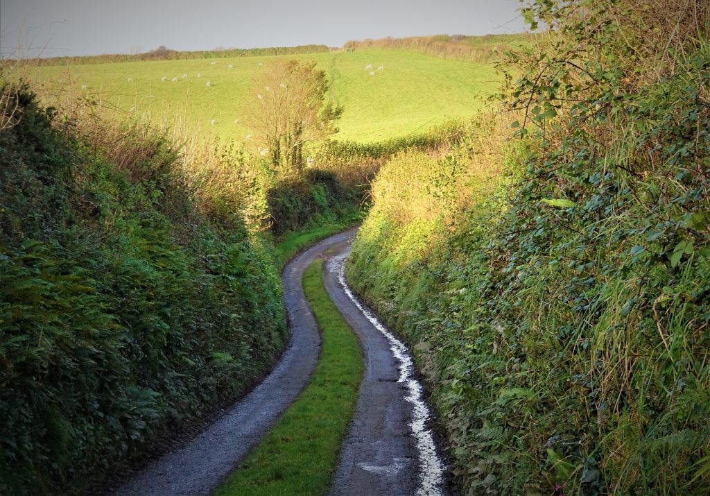
Lantic
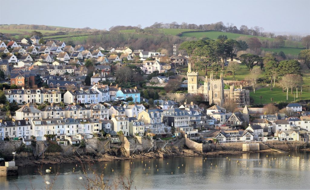
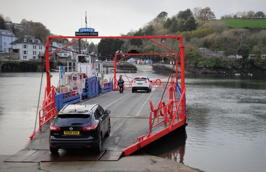
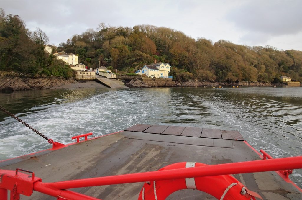
Polruan
Fowey
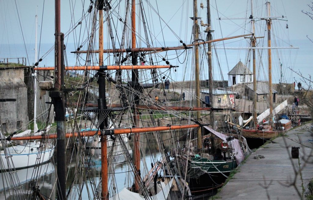
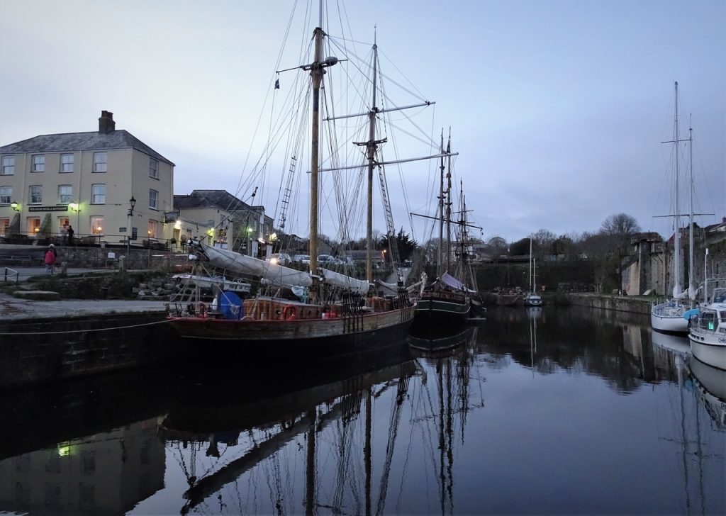
Charlestown
Daily video