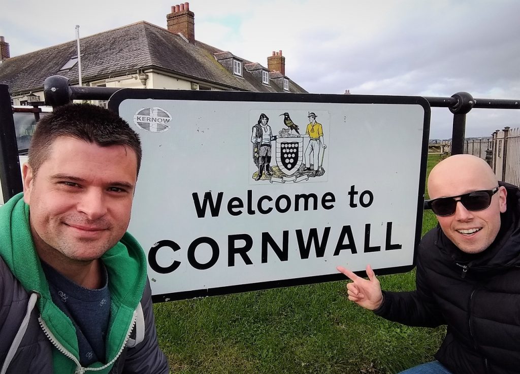
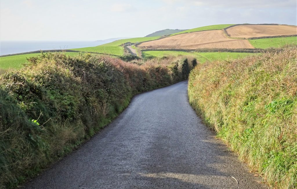
Day 45 – St Austell to Helston
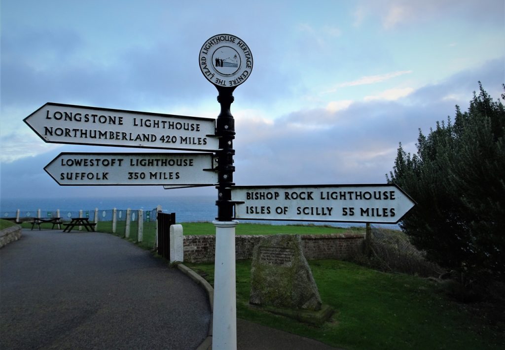
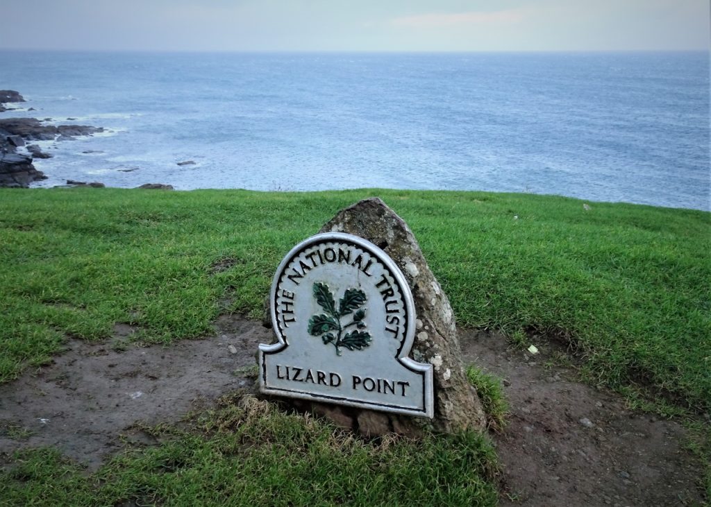
Today we will be driving down to the most southerly point of mainland Britain, having already visited the most westerly, northerly and easterly points earlier on this trip! The unpredictable British weather has generally been kind to us along our journey, but today will be very wet…
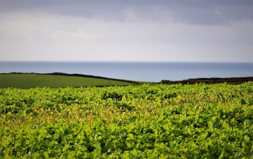
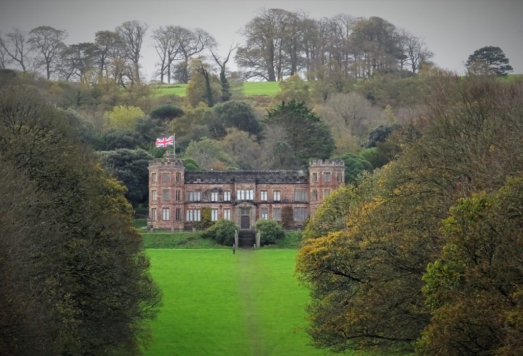
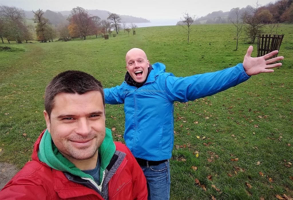
Photo of the day
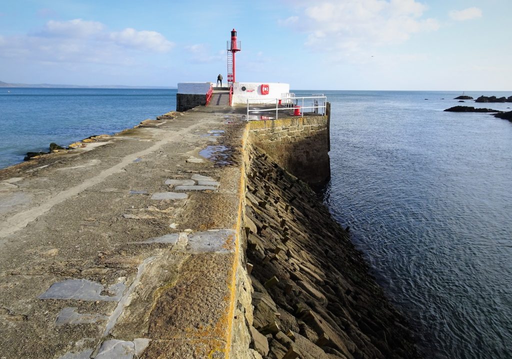
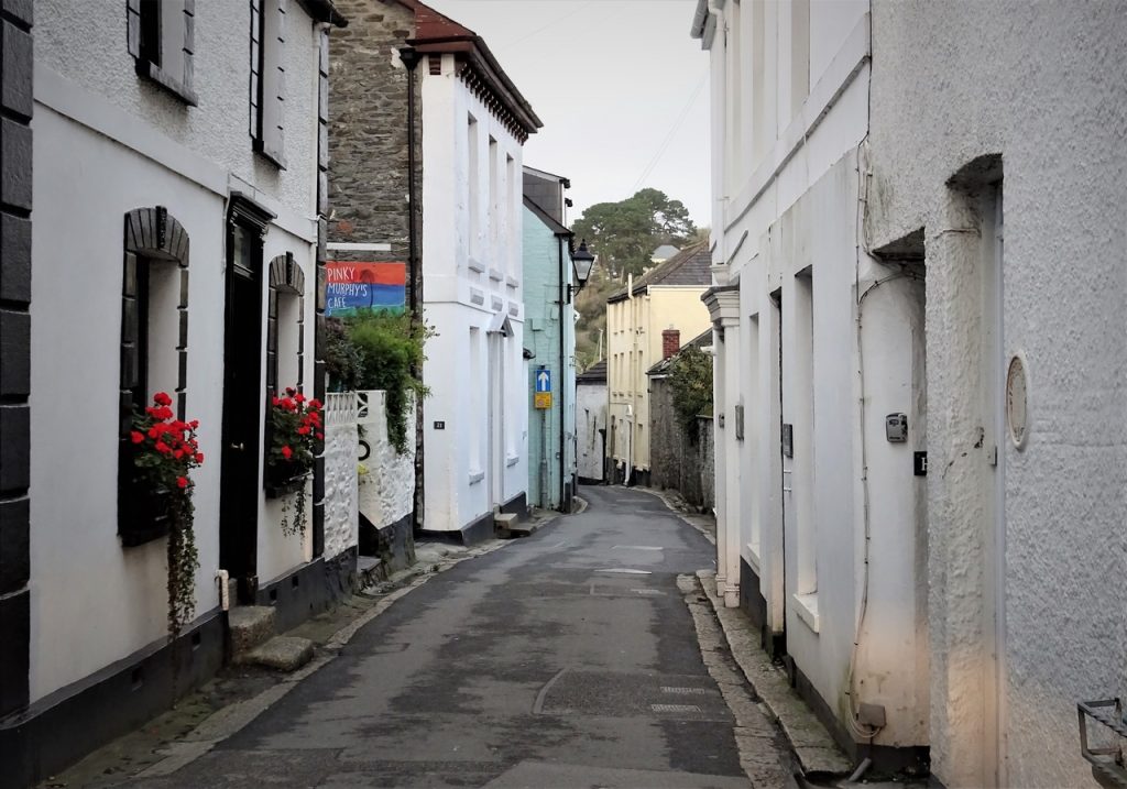
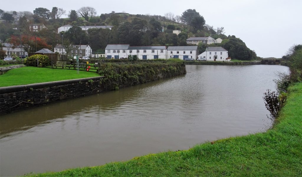
Pentewan
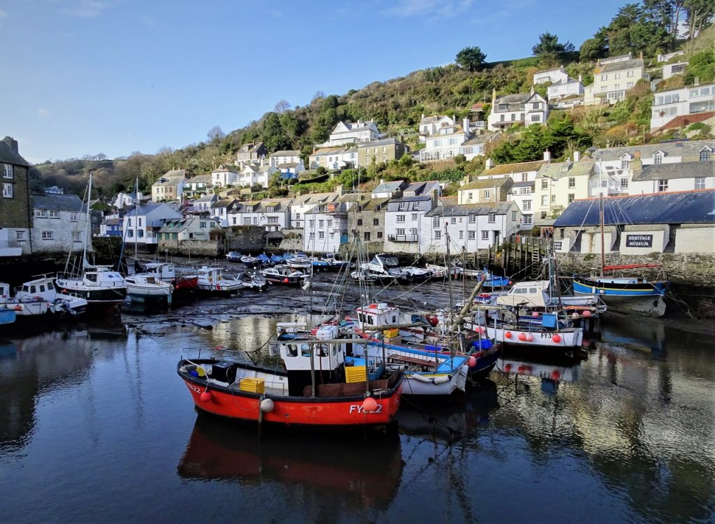
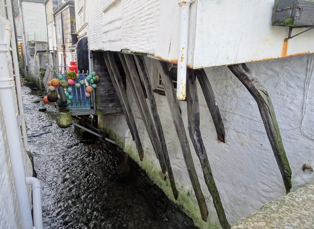
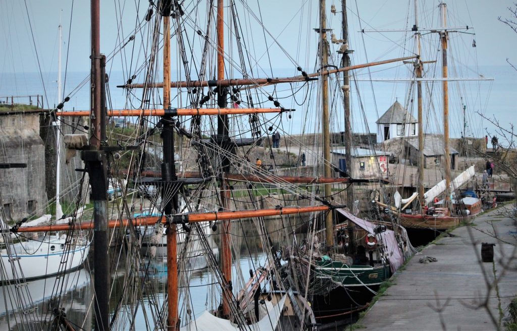
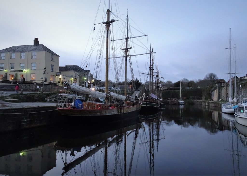
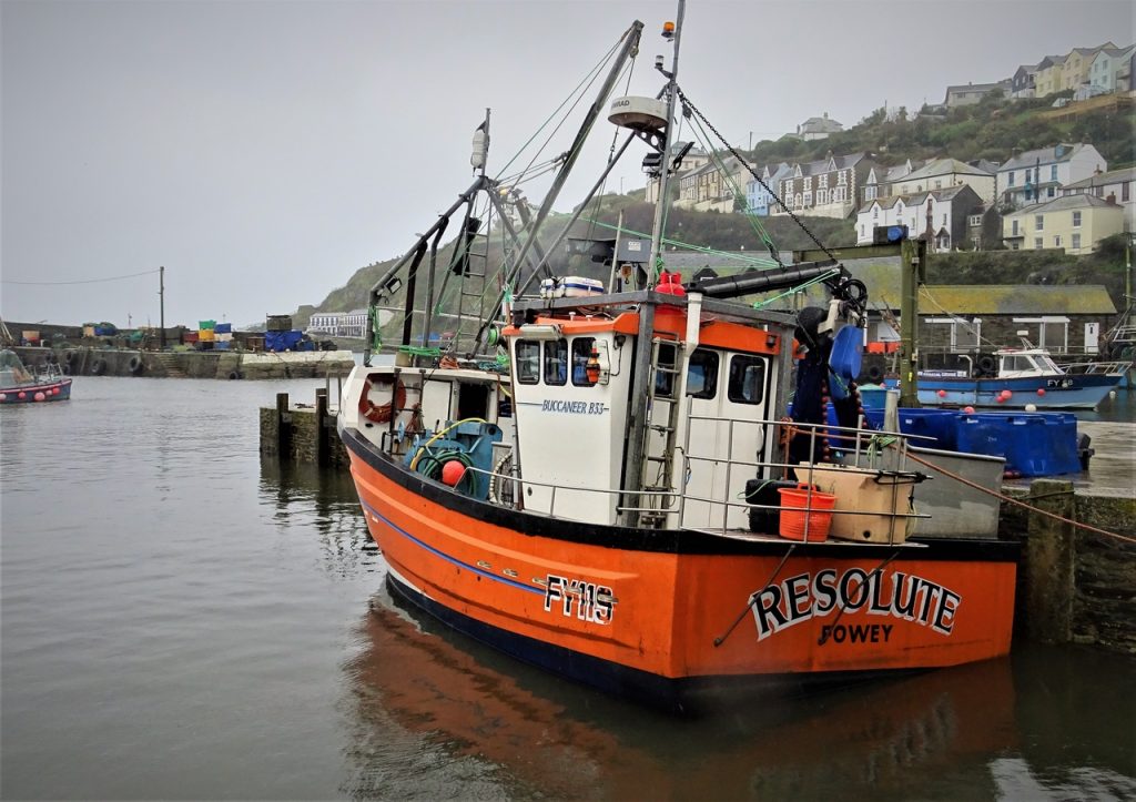
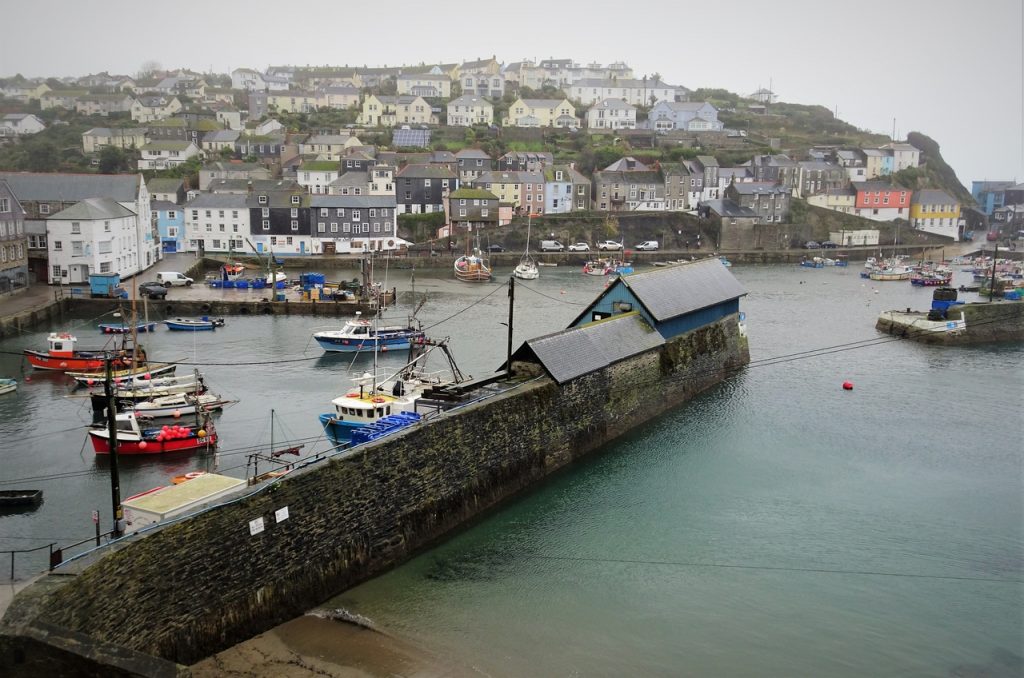
Mevagissey
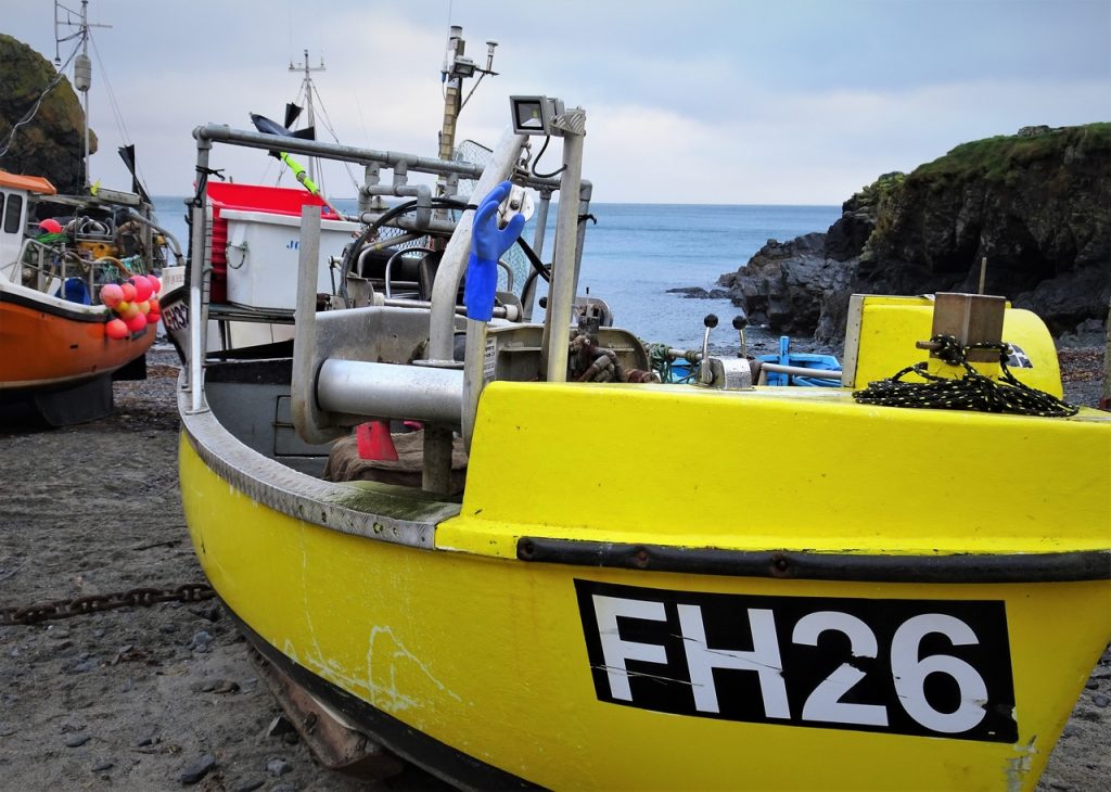
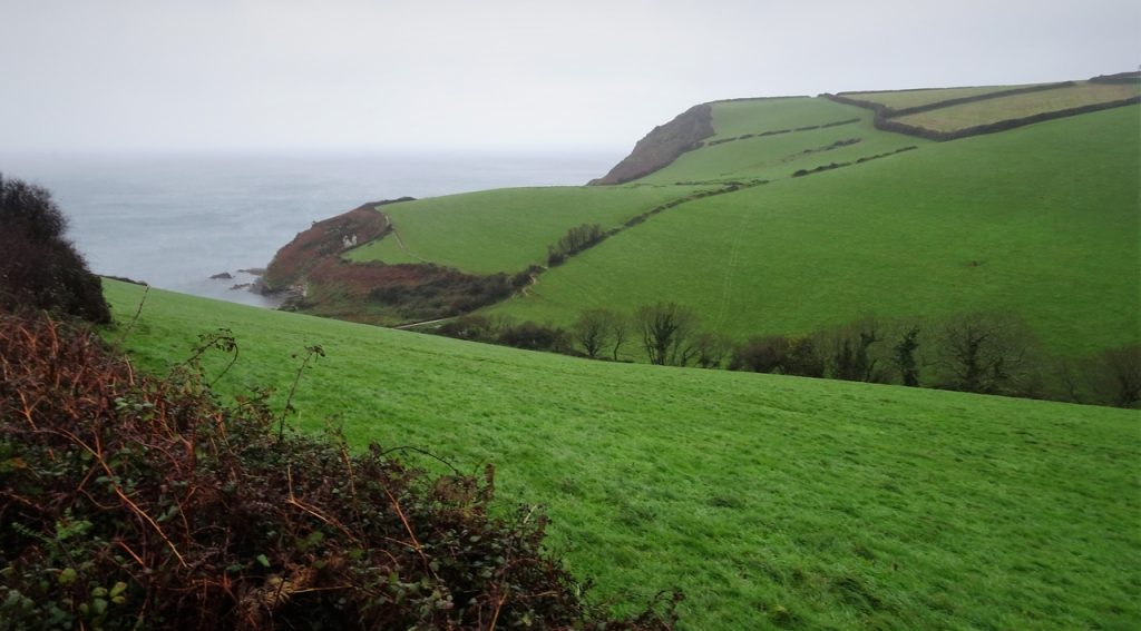
Gorran Haven
Porthluney
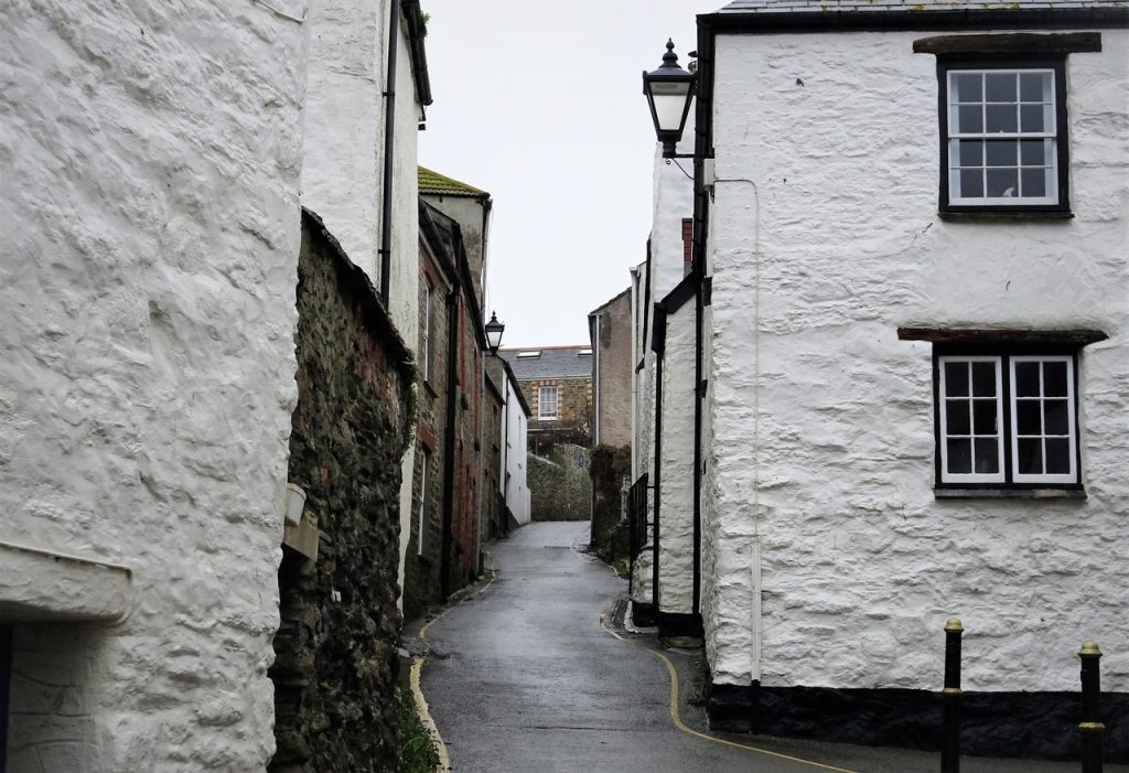
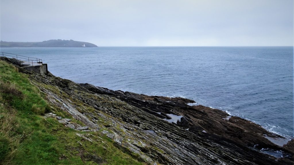
Portloe
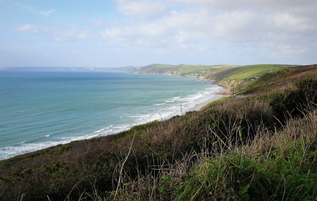
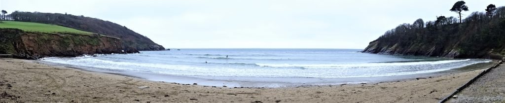
Pendower
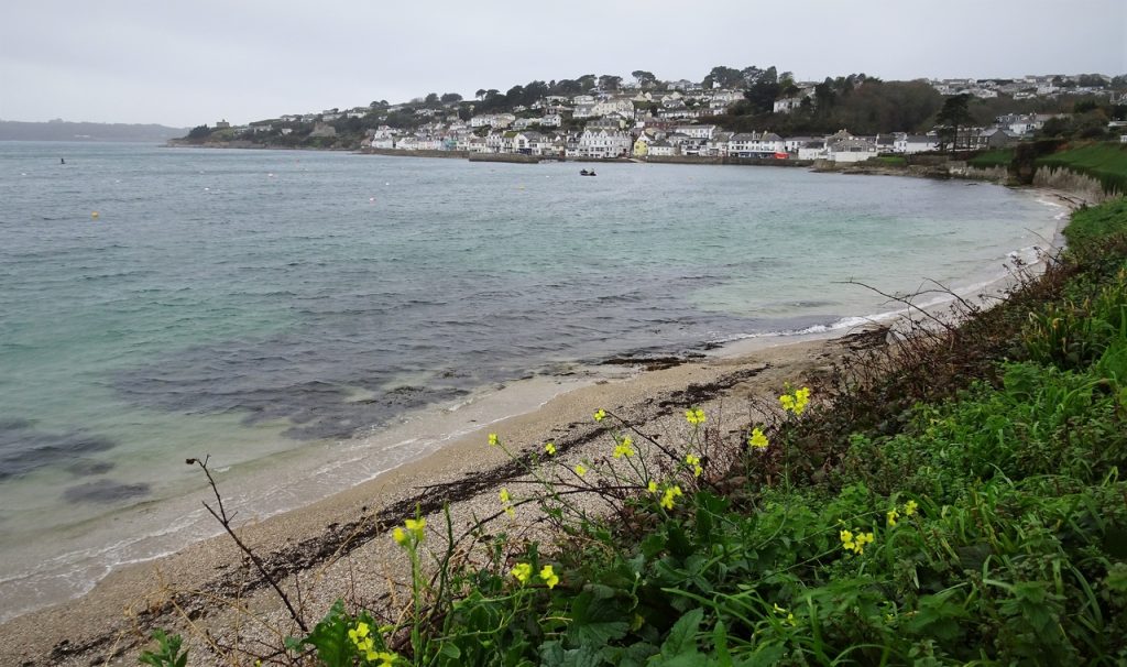
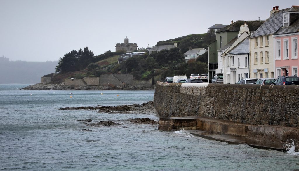
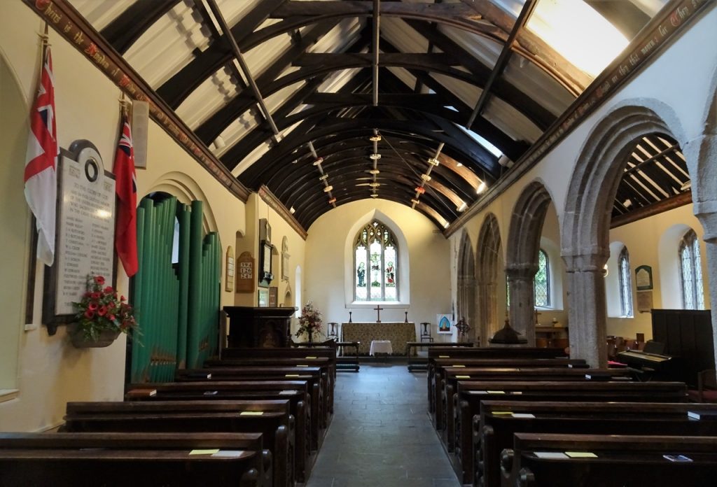
St Mawes

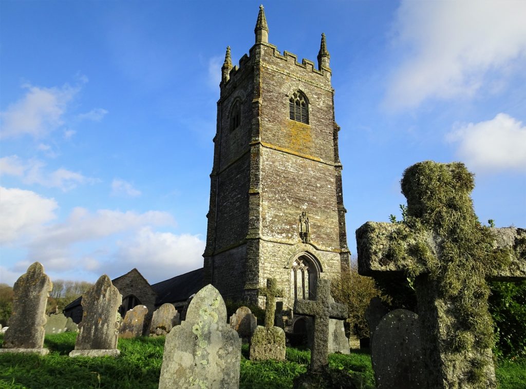
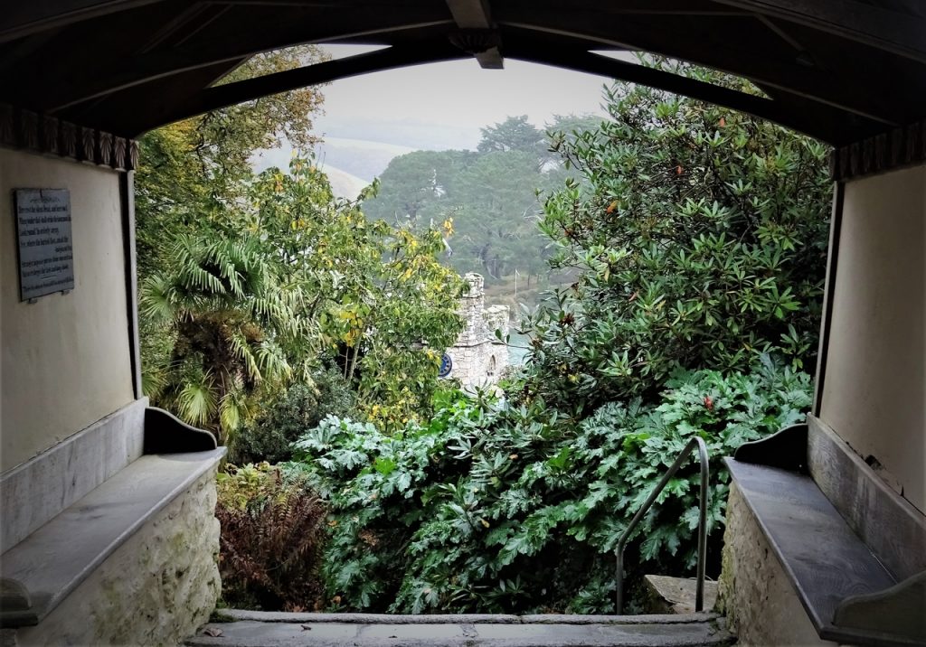
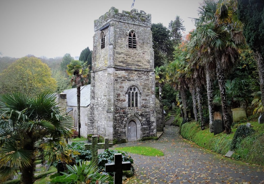
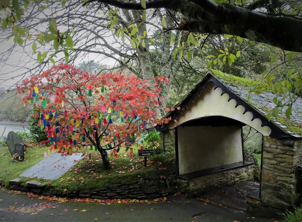
St Just in Roseland
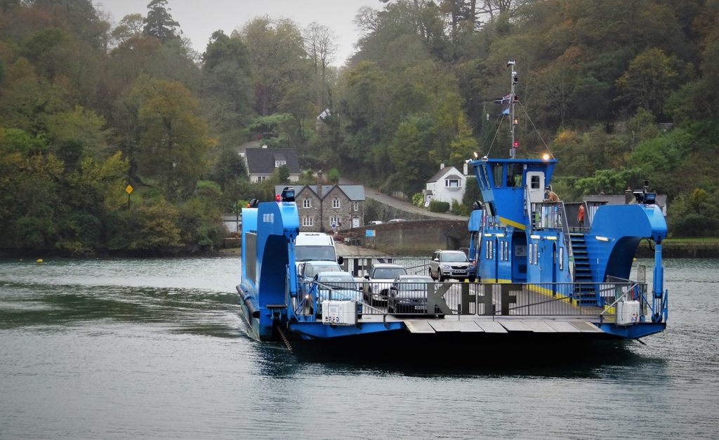
King Harry Ferry
Trelissick
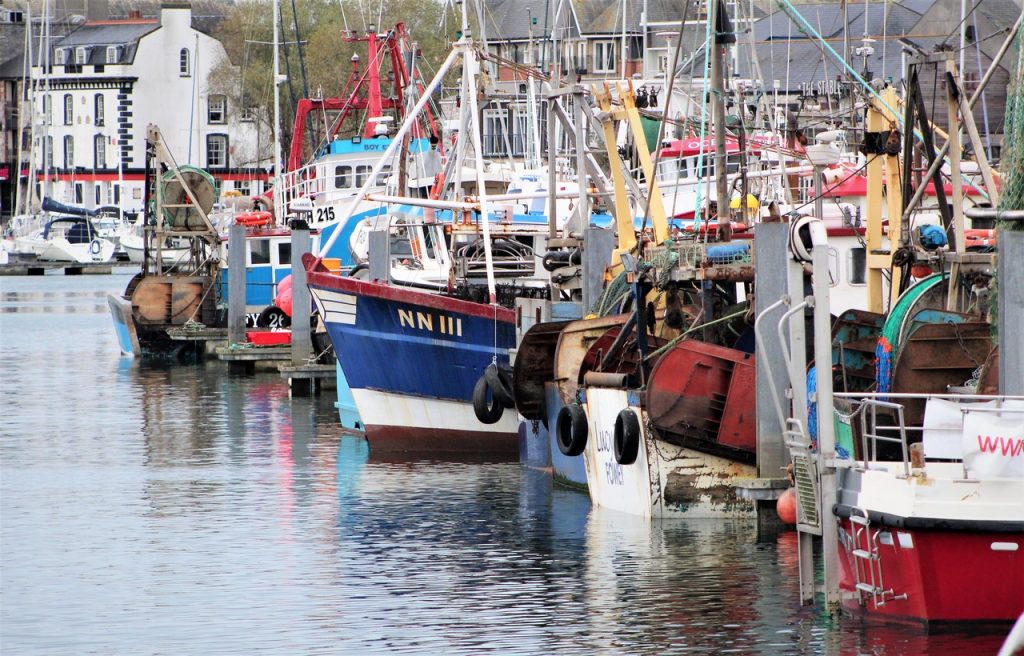
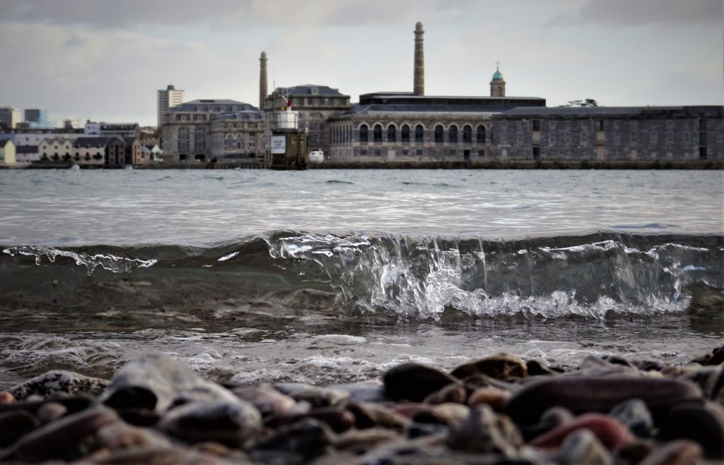
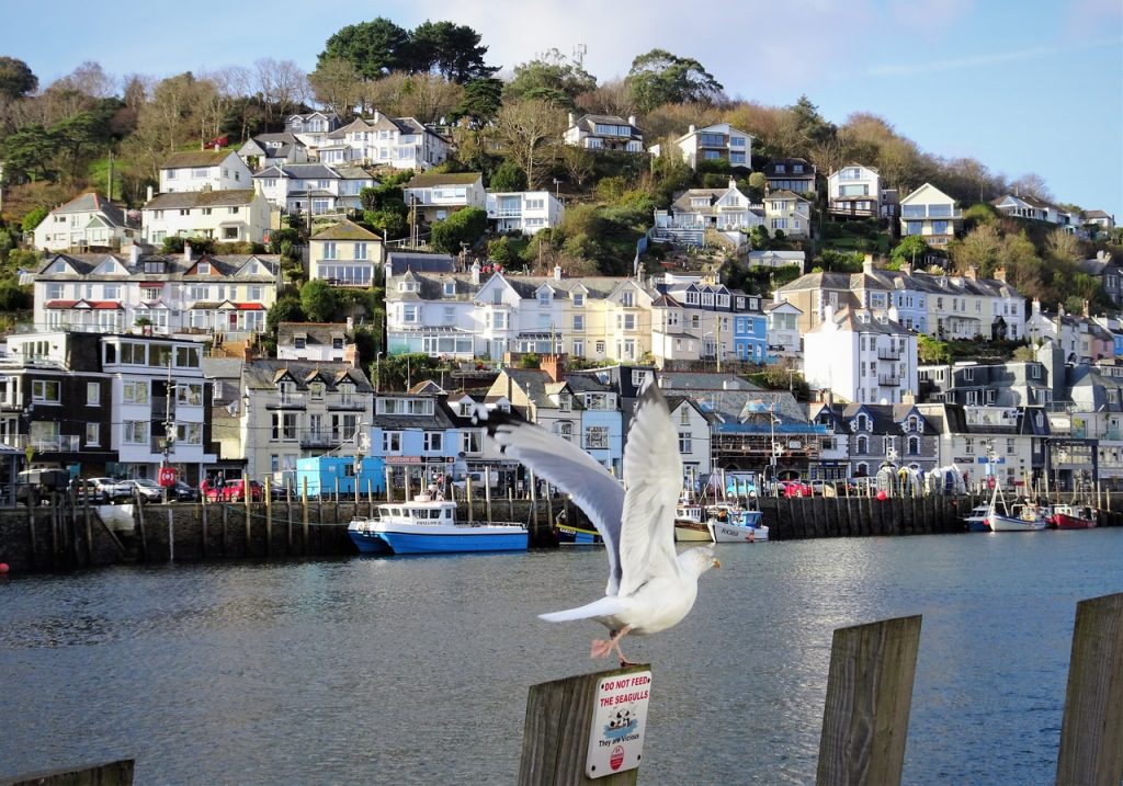
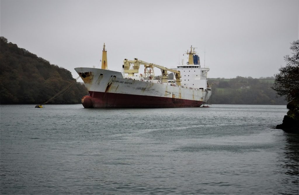
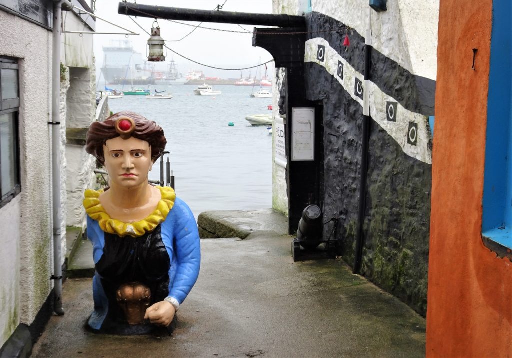
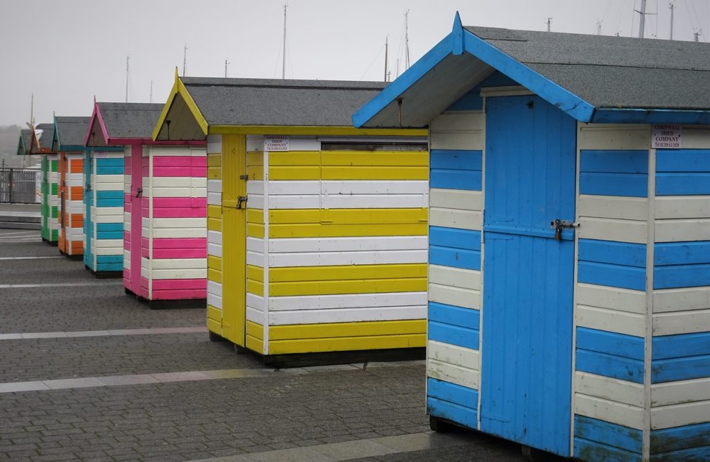
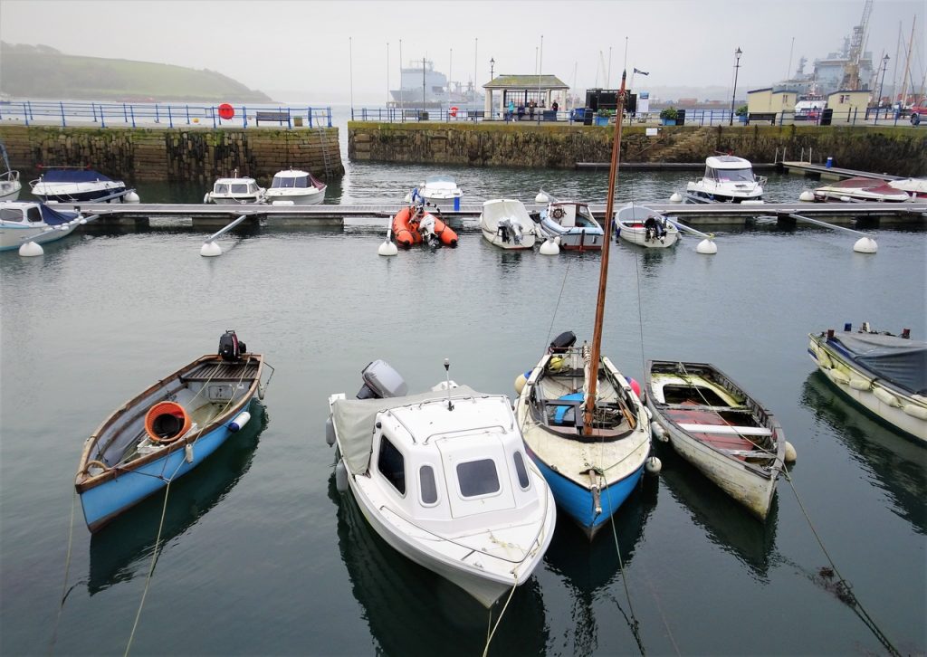
Falmouth
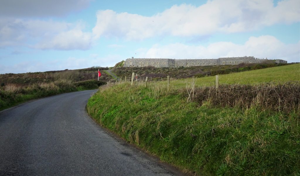
Pendennis
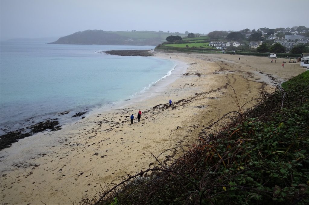
Gyllyngvase Beach
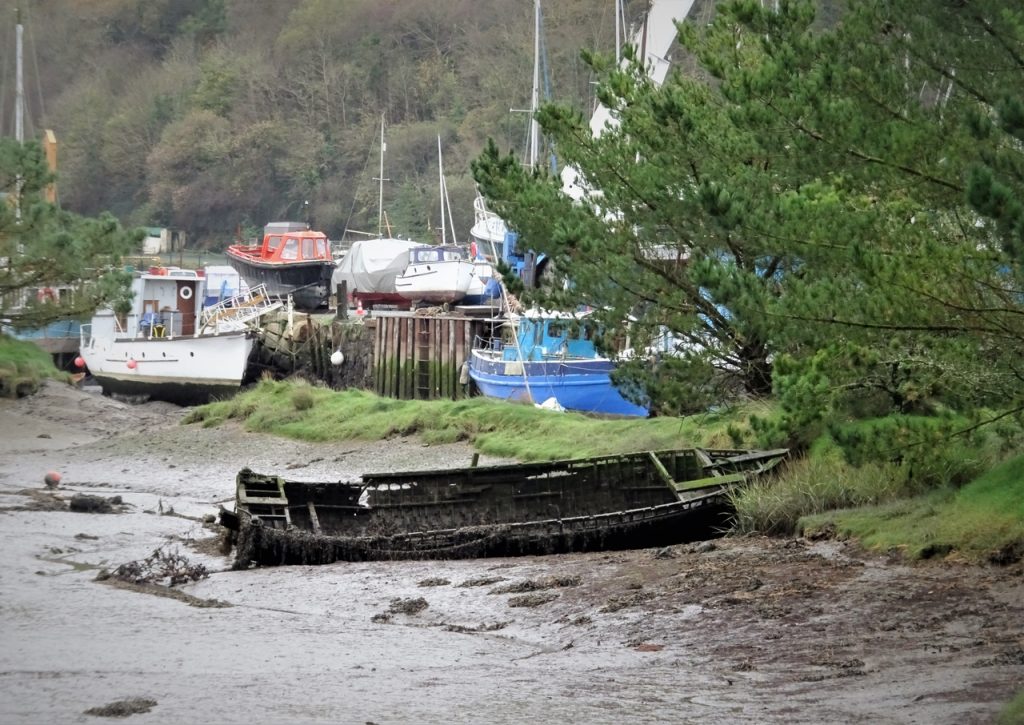
Gweek
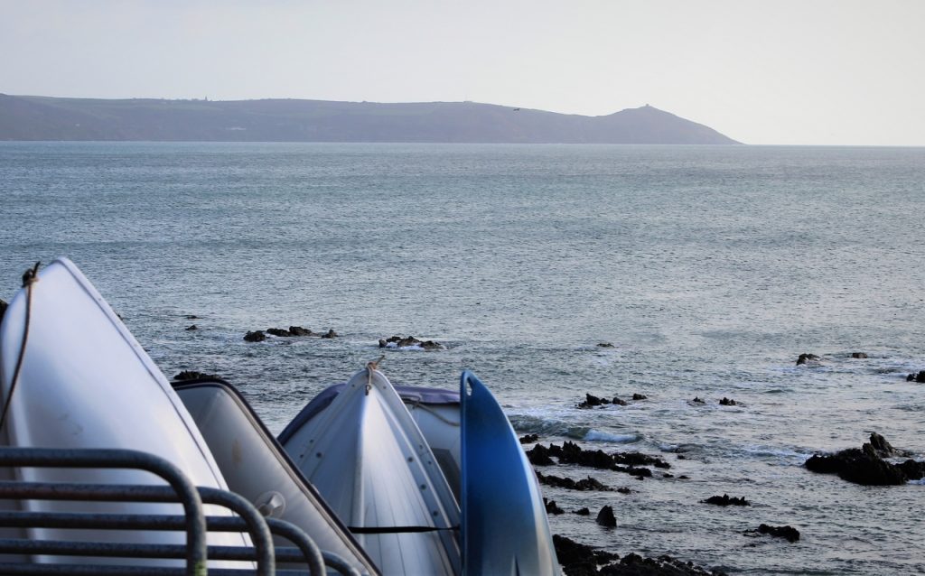
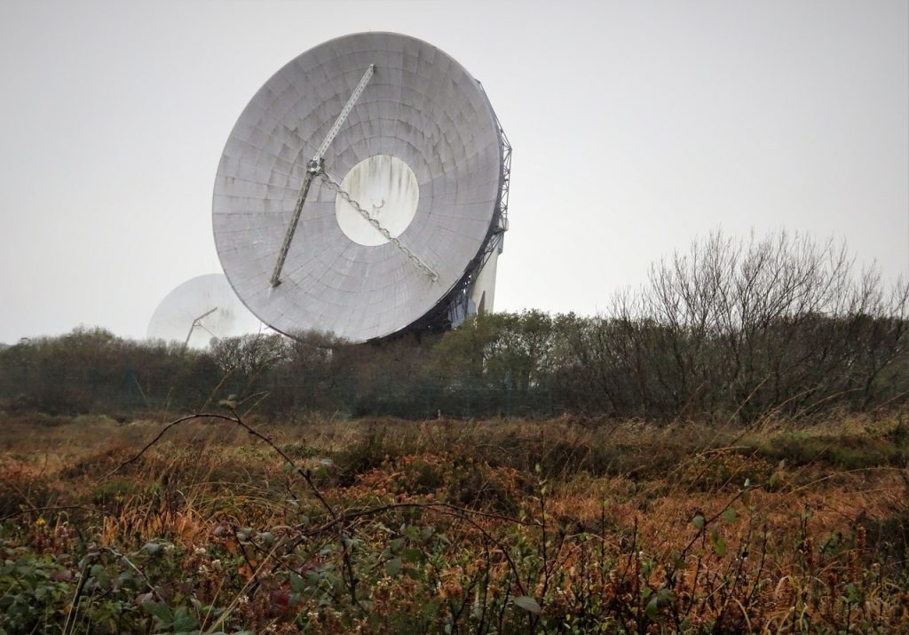
Goonhilly
Coverack
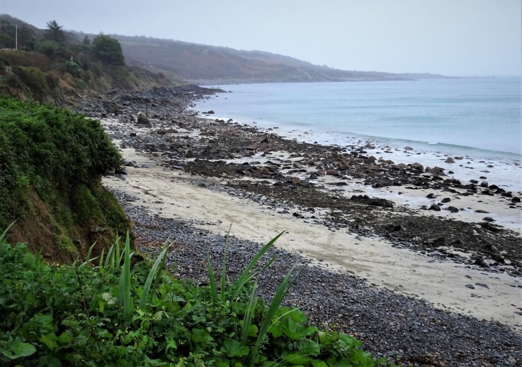
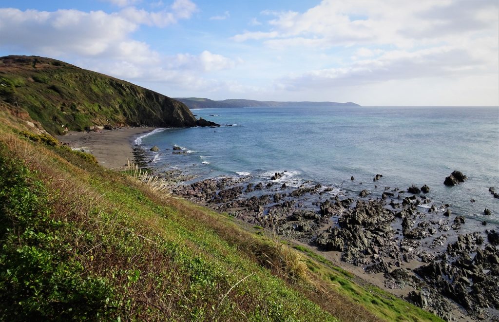
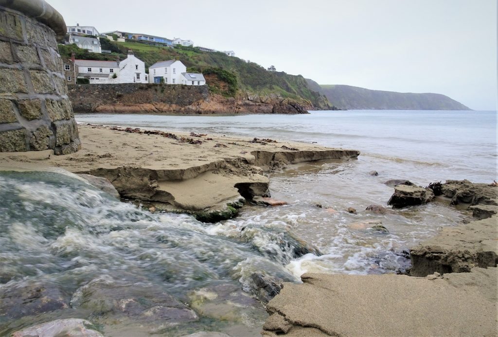
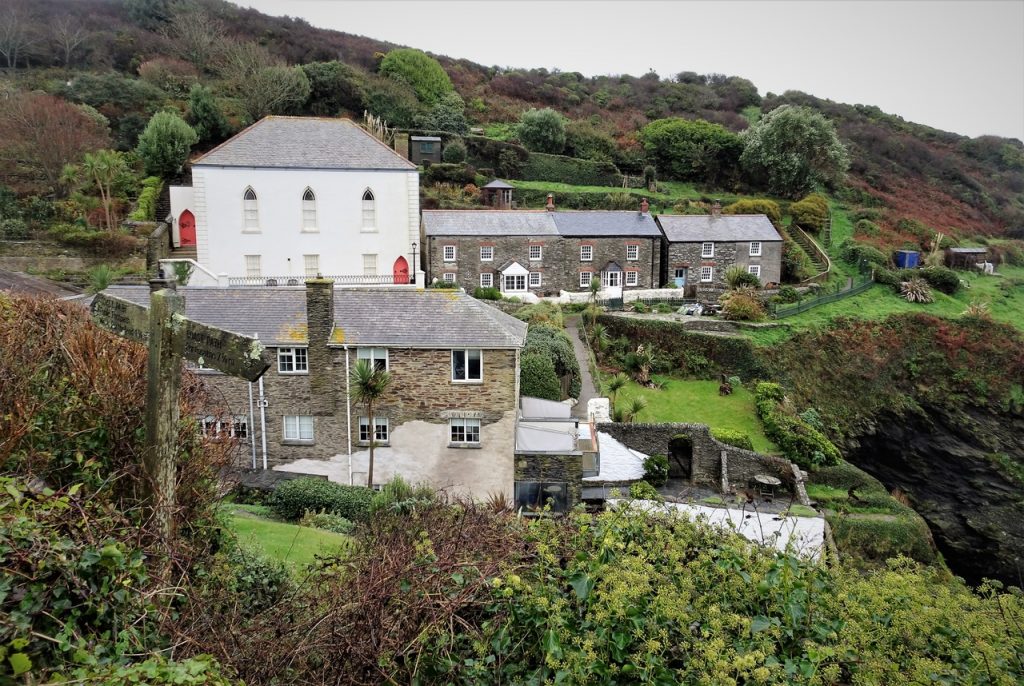
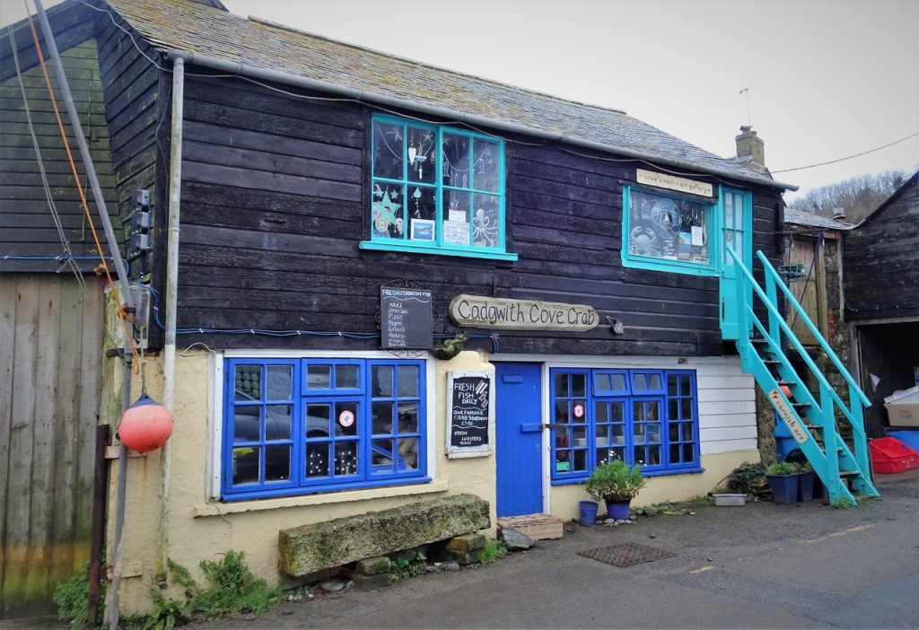
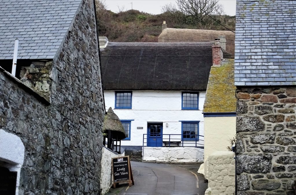
Cadgwith
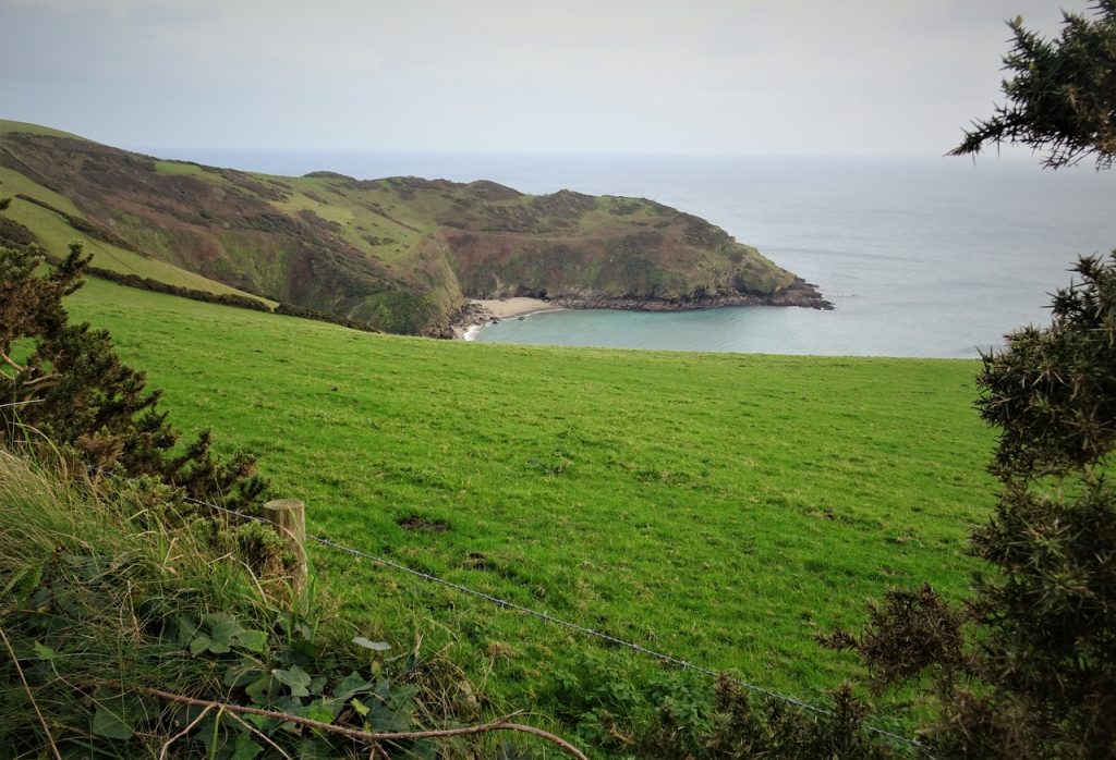
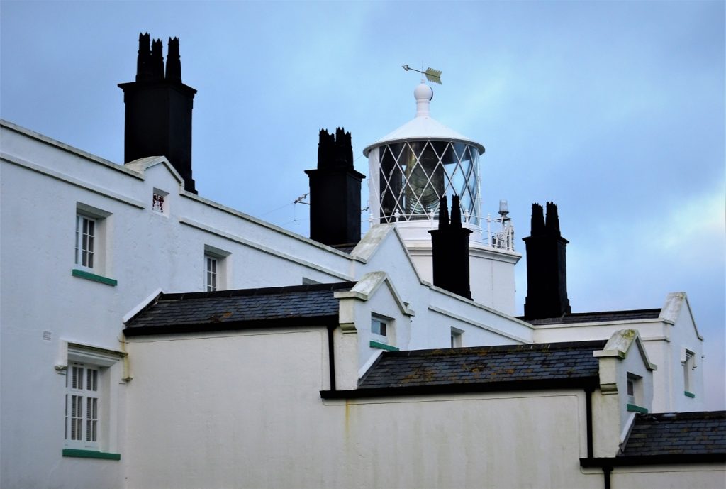
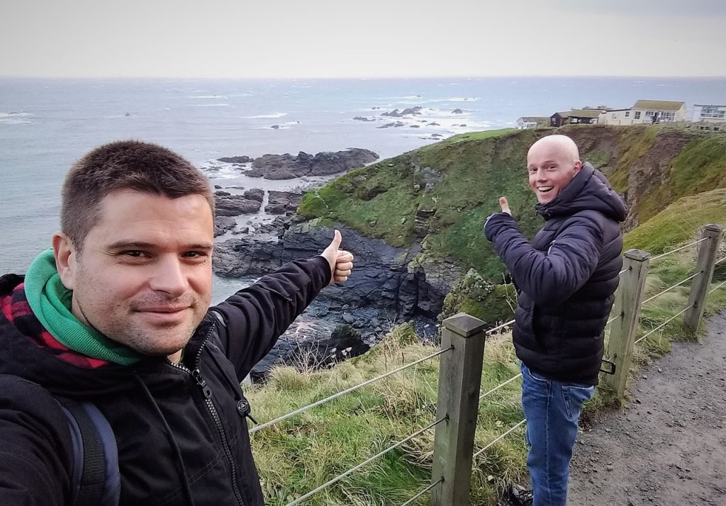
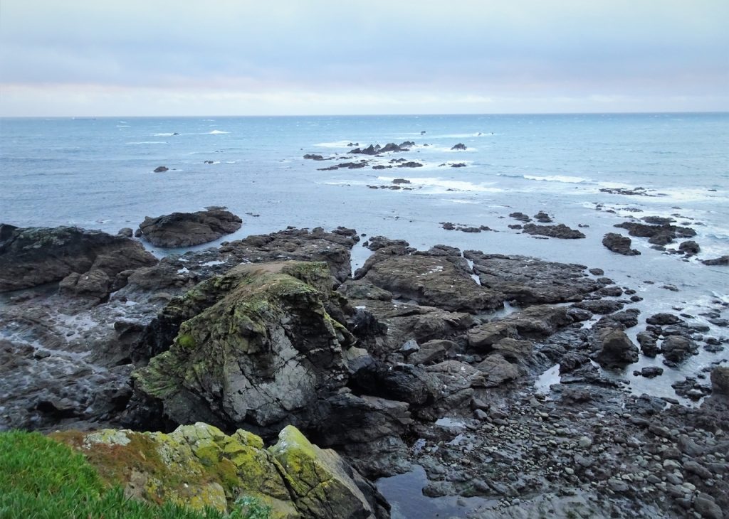
The Lizard
Daily video